In 2000, I was working for a company called TenLinks.
The idea was that a good "human" editor could provide a more valuable
directory of websites than a search engine.That's still true, though
search engines, search technology, metadata and related tools have come
a long way.
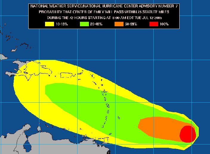
In the geospatial arena we are still making lists of data resources.As hurricane Dennis headed for the Florida coast, a good Samaritan was working to provide a directory of websites from which to gather data regarding the storm and related topics.The list included website offering zipped shape files, MrSID DOQQs, aerial imagery, FEMA data, data available only via website viewers, clickable maps and the websites of EPA, USGS, USACE, Census, data libraries...Wow, I'm glad I was not tasked with digging through that list to find what I needed!
The fact that this data still needs to be gathered by hand confirms that Geospatial One-Stop is still a work in progress.Version 2, built on a Google search appliance, is expected to launch soon.
But, GOS is but one part of the puzzle.Other parts of the puzzle are still missing, so far as I can tell.We do not have a widely used way to seek out geospatial data based on standards.The Open Geospatial Consortium approved the OpenGIS Catalog Interface back in 2001.The latest version, version 2 is dated August of 2004.Several commercial and open source software packages have implemented the spec.(Alas, one of the specification's biggest proponent's IONIC, has taken its AsktheSpider.com offline.It's a demo of using catalog.) Even GOS 2 is expected to support the specification (OpenGIS Catalog Service for the Web, CS-W, in particular).What are we waiting for exactly to implement and use this specification more widely?
But, there is a third piece, that while not required, will be very nice to have: the Semantic Web.That's a vision of Tim Berners-Lee where we can use intelligent agents to seek out the information we need.Those agents will be smart enough to know that "geospatial" "GIS" and "spatial" mean the same thing and can decipher projection information from metadata no matter what the name of the field.Ideally, it will mean there's no need for humans to manually look at many Web pages to find that one key piece of information; the agents will do that work.
Like most people, I want instant gratification.Moreover, in times of crisis, I demand instant gratification, especially for those who are responding to the crisis.While we recreational geographers might have time to pour through the complied data listing noted above, I'm anxious to see the next generation offering.
In the geospatial arena we are still making lists of data resources.As hurricane Dennis headed for the Florida coast, a good Samaritan was working to provide a directory of websites from which to gather data regarding the storm and related topics.The list included website offering zipped shape files, MrSID DOQQs, aerial imagery, FEMA data, data available only via website viewers, clickable maps and the websites of EPA, USGS, USACE, Census, data libraries...Wow, I'm glad I was not tasked with digging through that list to find what I needed!
 |
The fact that this data still needs to be gathered by hand confirms that Geospatial One-Stop is still a work in progress.Version 2, built on a Google search appliance, is expected to launch soon.
But, GOS is but one part of the puzzle.Other parts of the puzzle are still missing, so far as I can tell.We do not have a widely used way to seek out geospatial data based on standards.The Open Geospatial Consortium approved the OpenGIS Catalog Interface back in 2001.The latest version, version 2 is dated August of 2004.Several commercial and open source software packages have implemented the spec.(Alas, one of the specification's biggest proponent's IONIC, has taken its AsktheSpider.com offline.It's a demo of using catalog.) Even GOS 2 is expected to support the specification (OpenGIS Catalog Service for the Web, CS-W, in particular).What are we waiting for exactly to implement and use this specification more widely?
But, there is a third piece, that while not required, will be very nice to have: the Semantic Web.That's a vision of Tim Berners-Lee where we can use intelligent agents to seek out the information we need.Those agents will be smart enough to know that "geospatial" "GIS" and "spatial" mean the same thing and can decipher projection information from metadata no matter what the name of the field.Ideally, it will mean there's no need for humans to manually look at many Web pages to find that one key piece of information; the agents will do that work.
Like most people, I want instant gratification.Moreover, in times of crisis, I demand instant gratification, especially for those who are responding to the crisis.While we recreational geographers might have time to pour through the complied data listing noted above, I'm anxious to see the next generation offering.
From Our Homepage
Saying Farewell to an Amazing Journey
Communicating with Maps
Is There a GIS Career Ladder?
What does it mean to be geospatially smart? Series
Ways Real Estate and Property Developers Utilize Melissa GeoData for Data-Driven Decisions
Unlocking Value From Daily Satellite Imagery and Insights
Maximizing the Value of Your Address Data with Geo Addressing
How Indoor Mapping Enhances the Security of Smart Buildings
Look Ahead: AI, Location Intelligence and Efficiency
Collaboration Takes on Sea Level Rise & Dynamic Technology Environments
Brownies for Brownfields
Has Everything Been Mapped Already?
How Is Data Literacy Changing in an Artificial Intelligence Landscape
Portfolios for GIS Professionals: More Than Just Maps
How to Create a Distance Matrix in QGIS - A Step-by-Step Guide
7 Ideas for Bringing GIS into the K-12 Classroom
The Geography of Movement