As in many Latin American countries, corner stores and snack stands in Colombia serve as popular places to grab a quick bite to eat. Hordes of schoolchildren, workers on their breaks, and neighborhood families frequent these small establishments for a soda or boxed juice and a small snack.
On the shelves, piled high with chips, candies and sweet delectables, one local brand stands out along with the multinational heavy hitters like Frito-Lay and Grupo Bimbo: Productos Ramo (Ramo).
 |
Founded more than 50 years ago, Ramo was the first snack manufacturer to offer prepared and packaged snack cakes in Colombia. Children and adults alike enjoy the company's snacks, from its Chocoramo cake squares coated in chocolate to its Mazitos fried corn chips.
The company balances innovation while continuing to embrace the traditional. As Ramo outfits business units and factories with the latest in technology, young men can still be found delivering Ramo products to small neighborhood stores by freight tricycle. This seeming dichotomy works well for the company, especially since the technology being utilized has its roots in tradition as well: GIS.
 |
Ramo uses GIS software from ESRI to improve service to the snack stands and stores and boost sales. GIS allows anyone to discover, analyze and make decisions based on geography by using an easy-to-interpret map interface. Mapmaking and using maps for decision making are centuries-old skills still valuable today, as Ramo realized.
Using ESRI's GIS technology, Ramo was able to:
- Increase the company's client base by 800 clients in a particular region by conducting a more timely and effective sales survey
- Plan better marketing strategies
- Route snack products to customers more efficiently
 |
ArcGIS Server Finds New Sales Opportunities
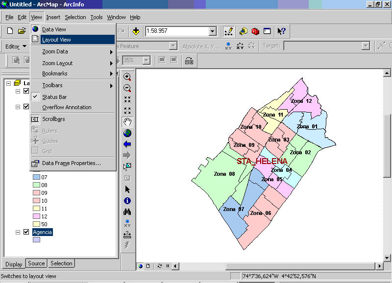
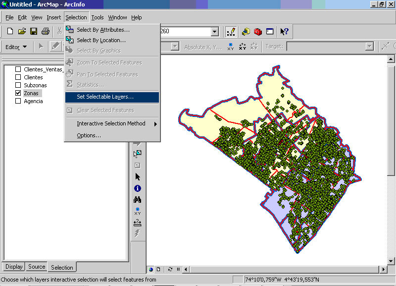
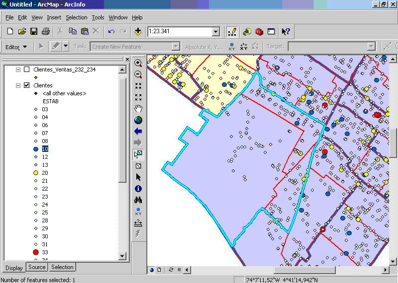
Using ArcGIS Server and an Oracle relational database management system (RDBMS), Ramo created an enterprise geodatabase to maintain sales-related information in one common location. This geodatabase gives the company the ability to input data once and use it throughout the organization. The information includes the locations of the stores that sell Ramo’s products. Those locations are tied to sales volume, street-level datasets and business-related layers including sales and delivery territories. Ramo relies on this information to help it do business, from finding new clients to managing existing customers and planning sales and marketing strategies.
ESRI's Colombian distributor, Proc�lculo Prosis S.A., implemented the solution. "It was obvious that the ESRI platform would completely fill Ramo's needs," says Oscar Herrera, information technology (IT) manager, Productos Ramo S.A. "Proc�lculo Prosis had the experience and ability to carry out a successful implementation."
 |
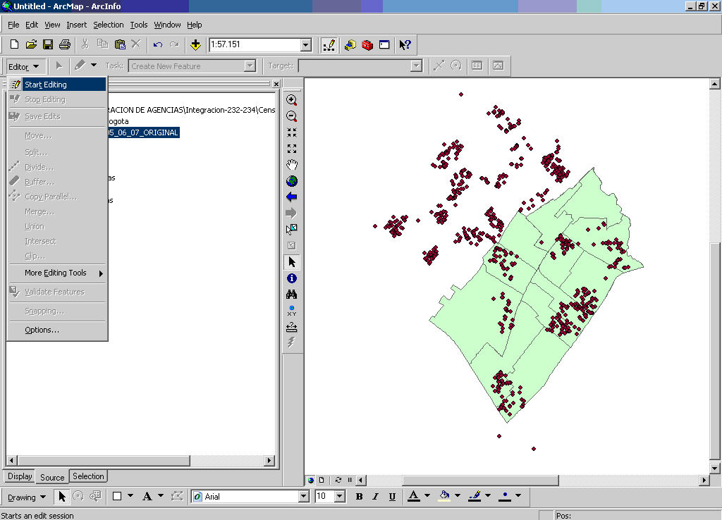
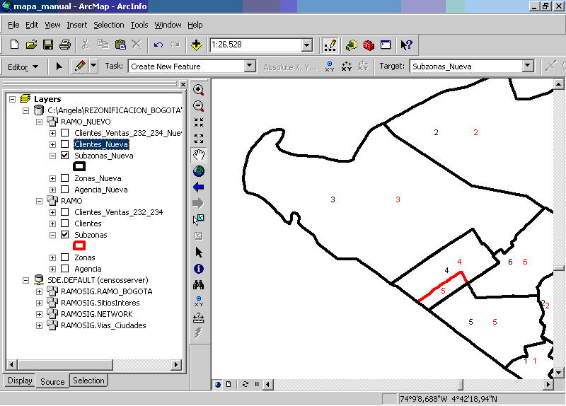
Ramo began using ArcGIS Server to assist in creating the customer survey, which the company uses to make more timely and accurate sales decisions. Surveying customers or stores hinges on client surveys that historically had been performed by first printing and cutting city maps into field zones or sales territories. After this manual process, the locations of all customers, including every small corner store and snack stand, were drawn on a map. Finally, Ramo salespeople hit the streets to survey customers, finding out whether they needed more products to sell, whether the mix of products was correct, and collecting other information that would help them meet the needs of the people who shop at their establishments every day. This process, from printing the maps to gathering the data, normally took more than a year. That long time frame meant that by the time Ramo was able to use the information, it was out of date.
Using ArcGIS Desktop automated the mapmaking process. Instead of the survey taking more than a year to complete, four GIS analysts can now finish it in four and a half months. Key to the time savings is the analysts' ability to create field zones by digitizing them directly onto the maps. Then, client locations are geocoded using either Colombian street maps or a Global Positioning System (GPS) when street maps are not available. This information is then used by staff to create, visualize and analyze distribution zones organized by rules from Ramo's sales criteria.
 |
By decreasing the time it takes to finish the survey, and having access to more current data, Ramo has met its objective of increasing the number of clients or stores in each sales and distribution zone by 10 percent. This was accomplished by supplying products to new stores that had opened since the last survey, seeing where stores were not serviced because they fell between field zones, and expanding zones by using more efficient routing. In Bogot� alone, for example, Ramo has found 800 new customers.
New Technology Makes Traditional Ways of Doing Business Better
The next process Ramo optimized was delivery routes. Most products are delivered to stores by a fleet of 700 freight tricycles or motorized trucks. Using the ArcGIS Network Analyst extension, an add-on software for ArcGIS Server, the company was able to quickly find optimal routes. ArcGIS Network Analyst also allowed Ramo to manually create routes when necessary in rural regions where road maps were not available. The software has also been set up to take into account that person-powered freight trikes cannot use streets that are too steep.
Maps created by ArcGIS Server were also incorporated into Ramo's in-house business reporting system as part of hard-copy sales reports and strategy documents. This ensured that marketing analysis, coverage of the distribution zones and locations of customers would be available throughout the organization to sales and marketing staff as well as the company's management team and stakeholders.
Both Ramo and its customers benefit from GIS. The client survey Ramo performs takes much less time than it did traditionally. Having more reliable and up-to-date information from this survey means Ramo can plan better sales strategies.
Field zones have been reorganized based on knowing where clients are located and how they responded to the survey. Using GIS to do everything from creating new field zones to routing the distribution of products - instead of doing these tasks by hand - ultimately provides better customer service. Having this information readily available helps Ramo analyze product sales, including identifying where to place them and which clients need more.
"The key to this project's success was selecting a group of top sales representatives to participate," says Herrera. Ramo's general manager and IT manager both supported the project from the beginning and guaranteed they would have enough resources to execute a successful project implementation. Having Proc�lculo Prosis involved from the beginning and throughout the technology implementation was also very important to the success of the project.
Ed. note: A version of this article (pdf) appeared in the ArcWatch e-newsletter.