Typhoon Haiyan (also called Yolanda) has hit the Phillipines killing likely over 1000 people and is approaching Vietnam and Laos. The crisis mapper communities have reacted fast and started to map the affected areas in OpenStreetMap such as the Humanitarian OpenStreetMap Team (H.O.T.) and the Standby Task Force (SBTF) is officially deploying in response to a Digital Humanitarian Network (DHN) request from UN OCHA to assist with media monitoring (e.g. social media etc). The GIScience Research Group Heidelbergassists with hosting a Ushahidi plattform for this purpose. http://crisismap.geog.uni-heidelberg.de/ushahidi/
If you know how to contribute to OSM you can support these humanitarian efforts! In the first 24 hours over 10000 buildings have been mapped already.
Further you easily can help to tag tweets with the micromappers plattform.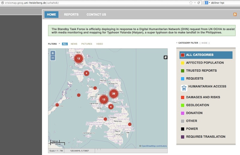
http://crisismap.geog.uni-heidelberg.de/ushahidi/
Reprinted from GIScience News Blog (News of Heidelberg University’s GIScience Research Group) under CC-BY-NC-SA.