"Roads, which are built and maintained by the government, can be freely traveled, water is available with the twist of a faucet, why shouldn't the access to spatial data be approached in the same manner?" comments Zul Jiwani, President of Orion Technology Inc., the Canadian-based company assisting in the implementation of the Dubai GIS.
A relative newcomer to the implementation of enterprise GIS, Dubai established its GIS Center in early 2001 with a governmental mandate to act as the sole authority in the emirate to distribute geographic data.
"Our Vision is to make spatial data a public utility and serve accurate and up-to-date data to facilitate real-time mapping and decision making," says Mohammed Al-Zaffin, Director of Dubai GIS Center.
To help fulfill its mandate, the government adopted a public utilities
style system with the intent of providing a spatial data service in which
any individual or organization in the world can imbed live, interactive
mapping and basic GIS services for Dubai into their own applications without
the need to communicate with the emirate and request permission to do so.
To accomplish this, URLs can be easily generated within the Dubai GIS that
can be embedded into a user's application, which allows the user to employ
Dubai's GIS capabilities within his/her own Website.

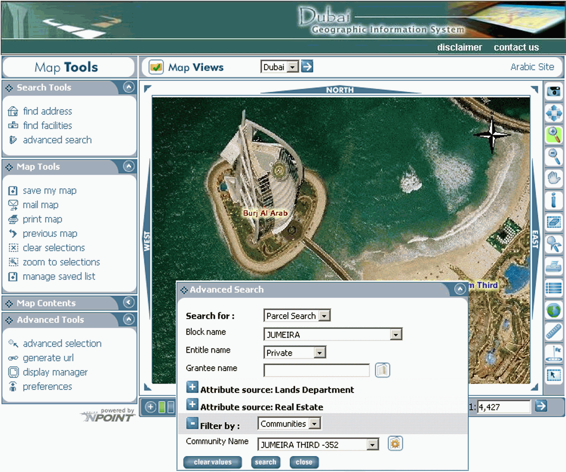
Click for larger image
As the sole source of government mapping services in Dubai, the GIS center is required to continually update its spatial databases, an ongoing activity that is performed automatically each evening. With more than 80,000 parcels in the emirate and approximately 30-40 transactions per parcel per day, Dubai needed a high volume, low maintenance system to meet its "24/7 regardless" mandate. System specifications required reliability at up to 10,000 hits per minute. To support this level of transaction activity, the center has installed 10 servers, all running GIS software from ESRI, including ArcSDE for spatial data management, ArcIMS for distributing spatial data via the internet, and ArcMap Server, which provides extensive display, query, and analytic capabilities for spatial data. Redundancy is built into the Dubai GIS to avoid down time in the event of equipment failure. Security and performance were key issues at the installation. All communication between servers is controlled through well-designed rules for firewalls and port, protocol, and IP address controls. Access to the internal network is through dedicated back-end network connections. Performance is exceptional with any requested vector map generated in less than one second.
Service is Our Business
With the ability to embed free, interactive maps into a user's Web
site, international companies such as courier and food delivery companies
are using the GIS for local delivery services, while other companies are
embedding links to the Dubai GIS to enhance real estate transactions or
provide site information for international hotel chains. Displayed
maps can be personalized to highlight specific locations and can include
custom labels and logos.
A wealth of information is also readily available to the individual
including the availability of public transportation; the location of community
facilities such as emergency services, schools, hotels, and hospitals;
and a variety of landmarks and tourist attractions.
GIS to the Rescue
Dubai's Department of Civil Defence installed a fire surveillance system
that automatically monitors the major buildings in the city. If there
is a conflagration in one of these buildings, the surveillance system receives
the alarm and, by automatically accessing the Dubai GIS, queries a database
to extract the building's location, and locations of other nearby facilities.
In addition, the GIS can store aerial photographs of the location and attributes
to determine whether or not volatile chemicals are currently being stored
in nearby buildings.
Click for larger image
The GIS then automatically prepares a map of the location of the building using the latest spatial data and displays the map in a window of the monitoring system at the Civil Defence department, all within a matter of seconds. Before implementing its GIS, the department used scanned maps of the city, which allowed them to determine the location of an emergency, but were generally out of date and provided no supplemental information about the neighborhood, nearby buildings, or their usage and contents.
The department decided to replace the scanned map library and integrated the Dubai GIS into its surveillance system because in emergency situations it is important to know not only the location of the disaster, but also current information about the immediate neighborhood, such as the nature of nearby businesses (Is there a petrol station or school in the neighborhood?) and whether or not highway maintenance crews are currently working in the area. Because the GIS is continually updated, the department is immediately aware of any changes in the city that could affect the safety of its citizens and knows exactly what to expect when answering an emergency call.
Meter Maid Monitoring
Located throughout Dubai's city center are kiosks installed by the
emirate's Parking Authority that are designed to provide automated parking
permit services to metropolitan drivers.
The parking ticket stations are located around the city and motorists insert coins into them to get a parking tag that they display on their dashboard. Each parking ticket station has a small computer and communications device that communicates with a central computer on a continuous basis. This equipment transmits a variety of information on the status of the ticket machine, including its functional status, amount of money collected, etc. The central computer stores this information in an SQL Server database.
By using their Web browsers, Parking Authority administrators are able to view interactive maps displaying the locations of the parking ticket stations, which are symbolized based on their current status. Since the parking database is continually updated, administrators can immediately determine the exact status of any parking meter kiosk.
While the Parking Authority is not involved in mapping, nor has it invested any money in mapping technology, employees are now able to easily view their data as displayed on a real-time, interactive map with real-time integration of their data with the Dubai GIS.
"With the click of a button your data is displayed on interactive maps and rendered according to attributes in your database - This is a classic example of GIS as a utility" concludes Mohammed Al-Zaffin, the visionary leader of Dubai's GIS utility.