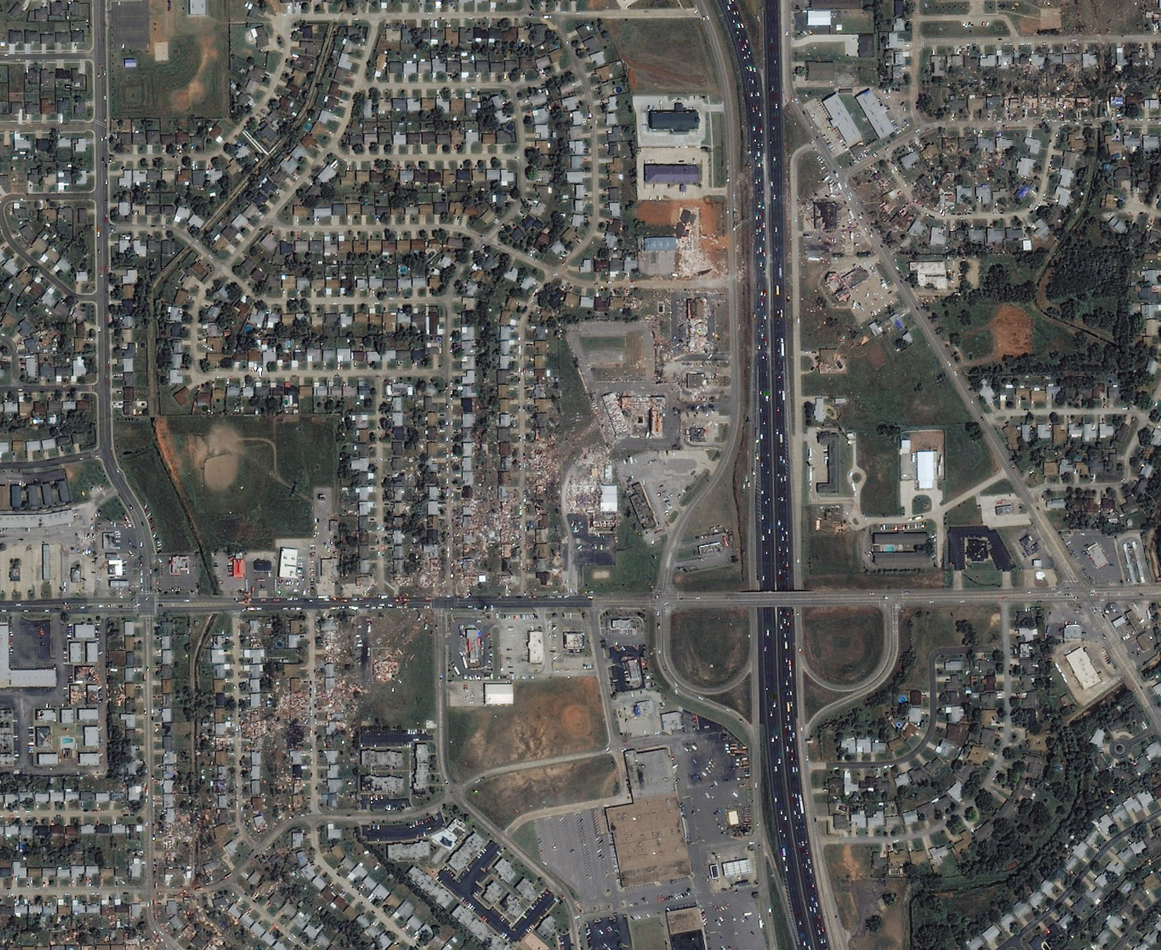
The IKONOS satellite image below shows the path of the tornado that hit Moore, Oklahoma on May 8, 2003.The satellite image was recorded on the following day (May 9). The line in the photo shows the approximate path of the tornado.Click the image below to see a full-scale image without the line which shows the destruction left in the wake of the twister.According to AP, the tornado injured more that 100 people along a 19-mile path, destroying 300 homes and 35 businesses.
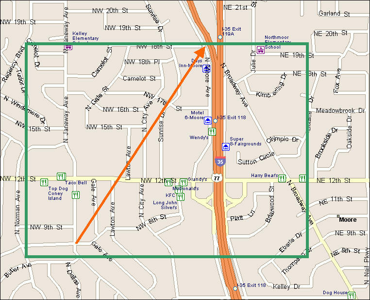
The map below is map of the approximate path of the tornado as interpreted from the satellite image.Green box shows the approximate extents of the satellite image above.Click below on the map graphic to show the full-scale map
Near the top of the arrow that shows the swath is the location of the Day's Inn motel that was damaged by the tornado.An AP photo of the motel along Interstate 35 can be seen by clicking HERE.
The motel is also in this satellite image near the top of the orange line showing the tornado's swath.
Image courtesy of Space Imaging. Map Courtesy of Geodezix Consulting.