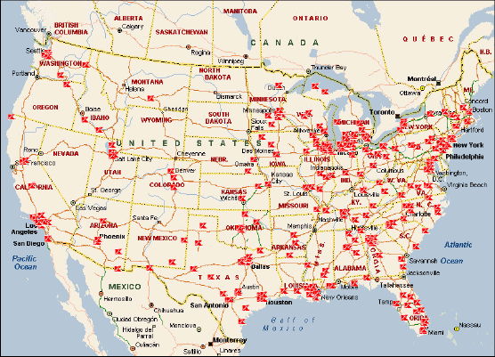
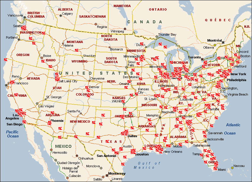
Kmart Closing 283 Stores

March 12, 2002
Share

Sharing is Caring

The map shows the locations of Kmart’s that the company announced were closing. This represents approximately 13% of their portfolio. The entire list can be found on the Kmart website.

FIGURE 1
Red "K's" represent KMarts

Click here for a larger image.

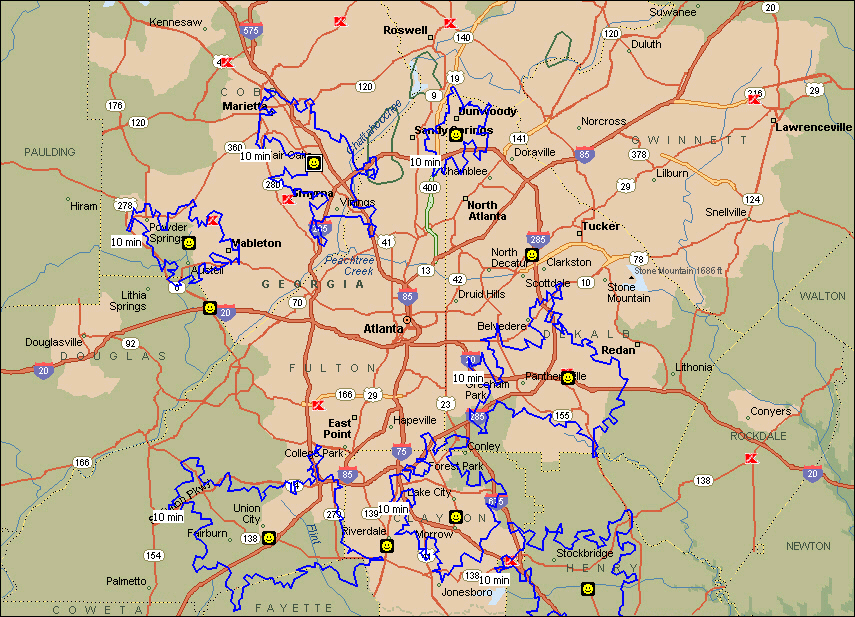
Was Wal-mart to blame? As a simple, unscientific test, we looked at the Atlanta region and plotted the Wal-marts in a 50 mile radius of the downtown area vs. Kmart’s. Of the 10 Kmart’s that are closing, only 3 are within a 10-minute drive time of the nearest Kmart (Drive times represented by "blue" irregular polygons in figure 2). Does geography matter? Of course, but so many factors have contributed to Kmart's failures: price, merchandising, distribution. Convenience, represented by location, is significant and it will be interesting to see if Wal-mart's trade areas vastly expand was Kmart's closures begin to occur.
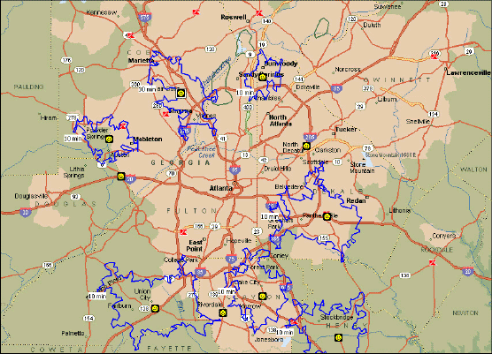
FIGURE 2
Red "K's" represent KMarts; "happy faces" represent Wal-marts.

Click here for a larger image.

The map was created using Microsoft MapPoint.

Share

Sharing is Caring


Geospatial Newsletters

Keep up to date with the latest geospatial trends!

Sign up

Search DM

Get Directions Magazine delivered to you
Please enter a valid email address
Please let us know that you're not a robot by using reCAPTCHA.
Sorry, there was a problem submitting your sign up request. Please try again or email editors@directionsmag.com

Thank You! We'll email you to verify your address.

In order to complete the subscription process, simply check your inbox and click on the link in the email we have just sent you. If it is not there, please check your junk mail folder.

Thank you!

It looks like you're already subscribed.

If you still experience difficulties subscribing to our newsletters, please contact us at editors@directionsmag.com