In Tennessee, the city of Knoxville, Knoxville County and the Knoxville Utilities Board (KUB) envisioned a GIS that would change all that. The ideal GIS would tie all of their organizations together and give them access to a common digital base map, minimizing the data duplication process, streamlining updates and informing the decision making process to a higher degree.
This multi-participant GIS vision was realized with KGIS in 1985. KGIS is one of the oldest local government GIS support organizations in the United States and is considered the first multi-participant municipal GIS. The historical importance of KGIS has been greatly enriched by the fact that it has managed to stay vibrant and innovative, due to a certain vigilance geared toward meeting evolving user requirements and keeping up with modern times.
Serving Broad User Needs
Today, KGIS serves more than 1,000 city, county and KUB employees across 30 government agencies and departments, and a number of outside agencies and commercial firms. Relied upon to provide the area's base map and to support mapping of addresses, streets, properties, and utilities, KGIS also serves the area's resident population of more than 400,000.
 |
Certainly, by the 1990s, multi-participant GISs were springing up everywhere to address redundancies in data generation and use. The uniqueness of the KGIS model was KUB's involvement. Generally, utility organizations are accustomed to paying other organizations such as the city and county for data, receiving a copy of the database and updating it with snapshots - even hiring additional personnel to maintain their own base map. One clear disadvantage of the duplication process is that it's time-consuming, often causing data to become obsolete by the time they're available.
By contrast, KGIS allows KUB to read live data out of the same central database as other jurisdictions, thereby avoiding the translation and copying process. As an active participant in the shared operational system, KUB also has access to a pool of resources that includes computers, software and staff - seamlessly leveraging the efficiencies of a true enterprise-wide IT system.
The synergy and deep trust between all three organizations have been undeniably critical to the success of KGIS and the ability to reach a shared goal. Equally important is that the evolution of KGIS has followed the needs and demands of the user community, particularly as available GIS technology has become increasingly sophisticated.
 |
Migrating to a Web-centric GIS
KGIS started out living on an Intergraph mainframe platform. By the late 1990s, all hardcopy map data had been converted into GIS digital format, and the city, county and KUB were optimized on a single database. But industry changes were on the horizon.
A major industry development that impacted KGIS was the explosion of the Internet as a de facto means of communicating. IT users and the public were increasingly relying on the Web for research and data sharing. So in the early 2000s KGIS introduced the Web environment to its data maintenance operations. But now, an old problem resurfaced. KGIS resorted back to using disparate systems: an ESRI-based Web site, multiple databases and the legacy Intergraph system. Duplication of data maintenance was once again a way of doing business.
By this time, KGIS's geo technology was also outdated. The aging platform wasn't Web-based and could not easily be extended to adequately address growing user demands. KGIS made a decision to overhaul its technology and processes to better address the needs of its constituents and move to more efficient business operations. In 2005 KGIS engaged CH2M HILL to guide it through this transition.
The objectives of the multi-year project were to design, construct and implement a GIS solution to support the spatial data requirements of KGIS member agencies and the public, and to migrate GIS applications and data from the existing Intergraph-based platform to a more versatile, enterprise-wide, ESRI-based GIS. KGIS would enjoy the advantages of a fully supported GIS, join the ranks of a very large user base and have access to countless new applications and cutting edge technologies.
 |
The migration to this Web-centric GIS would truly represent a sea-change in how KGIS accessed and managed its geospatial information assets, opening up entirely new opportunities for integration and better decision making.
CH2M HILL teamed with ESRI to provide a solutions-based implementation that was tailored to meet the needs of its users. With clients ranging from public citizens to users in 15 municipal departments, KGIS would ultimately be usable among savvy and non-technical users alike, and be accessible by both mobile and desktop systems.
 |
Several important steps were involved in the KGIS overhaul. CH2M HILL designed or developed:
- A business process analysis by interviewing users and documenting existing systems across 15 departments, and conducting a series of facilitated workshops to gather critical information and identify future needs
- A system architecture to address nearly 900 system requirements for 25 applications, taking into account user types, software, hardware, data management, security and network configurations
- An IT infrastructure to support the system
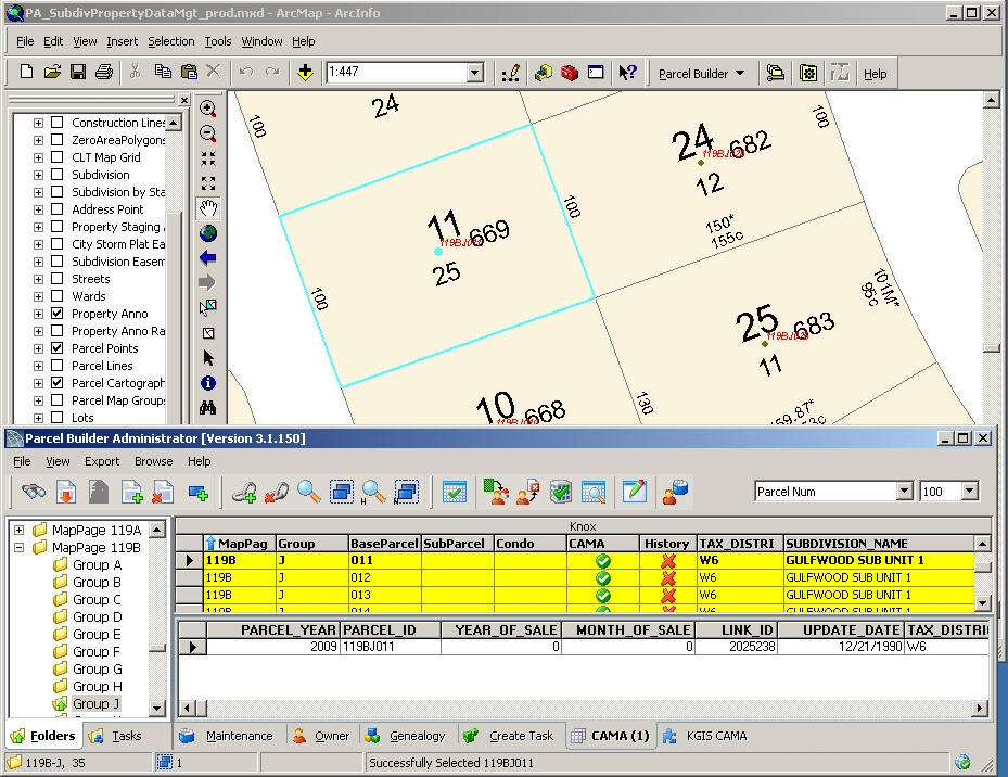
- A customized KGIS database and a five-phase migration of almost 1,000 spatial data layers
- Seven desktop data maintenance applications on the ESRI ArcGIS9.2 desktop platform to optimize data integrity and timeliness
- A multi-component Web mapping application with several supporting server tools
- An interactive KGIS portal home page, with integrated security governing access to all content and mapping applications
- Training and deployment support for the system and the custom desktop applications
Putting KGIS to Good Use
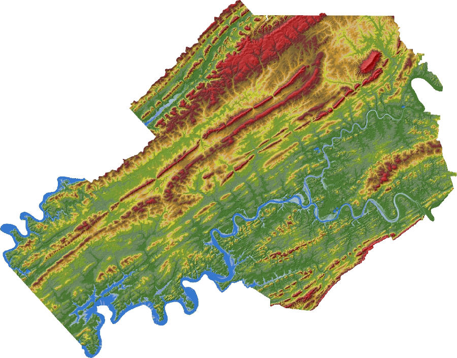
On the agency side, the applications and data KGIS supports are integral to several critical processes that rely on aerial and satellite photography, topographic contours, property boundaries, addresses, zoning, land use, voting precincts and other information - more than 195 distinct data categories in all.
The data sharing aspects of KGIS have tangible benefits when it comes to data accuracy. For instance, in 2000, the shared database of city and county addressing revealed 55,000 addresses that had been missing from the U.S. Census Bureau's master database. KGIS's central database avoided the need to manually check overlapping or missing addresses, resulting in an accurate population count and inventory of properties.
Donna Redden, an engineer with the City of Knoxville Engineering Department, uses KGIS for maintenance of the city boundaries and city storm water utility data as well as plat reviews. With the city for 12 years, Redden has experienced the evolution of KGIS first-hand and has been instrumental to the platform transition. Citing significant time savings as the biggest benefit, Redden says the new system allows her to access data in a more timely fashion because data from multiple jurisdictions and departments are tied together within a common platform. Because the information is digitally shared, KGIS also keeps the paperwork manageable.
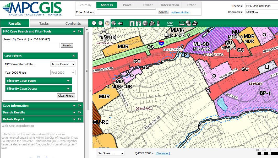
For external users, KnoxNetWhere is KGIS's interactive Internet portal that provides one-stop access to rich spatial data resources. While many local jurisdictions create unique websites for different audiences, including the general public, KGIS's aim is to centralize its offering under a single site - again avoiding duplication of data maintenance and application code.
Thanks to its ease of use and richness of information, KnoxNetWhere receives five million hits per month. Peak times see spikes: in August when school starts, and when election season is introduced, people use the site to research school district boundaries and voting locations. Seeing these trends gives KGIS a good indication of the kind of information the public seeks, and provides a mechanism to gather feedback about the site's value. This input will help drive future developments.
While KGIS feels the competitive presence of Internet giants like Google and Microsoft, which continue to introduce easy to use functionality, the competition also fuels the excitement and drive of KGIS's development team. The data offered by the bigger players are no match for the detailed local data and other sorts of information in KGIS, making its usability potentially far more valuable for serious mapping applications. And the scalability and flexibility offered by KGIS's GIS open the door to many new opportunities leveraging the latest trends. KGIS will continue to grow with the times to feed a hungry user base.
From Our Homepage
Saying Farewell to an Amazing Journey
Communicating with Maps
Is There a GIS Career Ladder?
What does it mean to be geospatially smart? Series
Ways Real Estate and Property Developers Utilize Melissa GeoData for Data-Driven Decisions
Unlocking Value From Daily Satellite Imagery and Insights
Maximizing the Value of Your Address Data with Geo Addressing
How Indoor Mapping Enhances the Security of Smart Buildings
Look Ahead: AI, Location Intelligence and Efficiency
Collaboration Takes on Sea Level Rise & Dynamic Technology Environments
Brownies for Brownfields
Has Everything Been Mapped Already?
How Is Data Literacy Changing in an Artificial Intelligence Landscape
Portfolios for GIS Professionals: More Than Just Maps
How to Create a Distance Matrix in QGIS - A Step-by-Step Guide
7 Ideas for Bringing GIS into the K-12 Classroom
The Geography of Movement