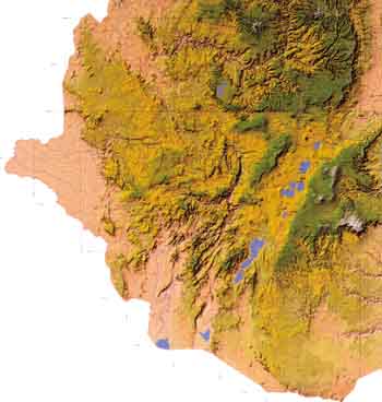
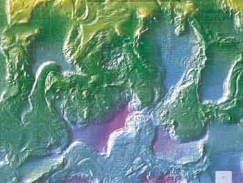
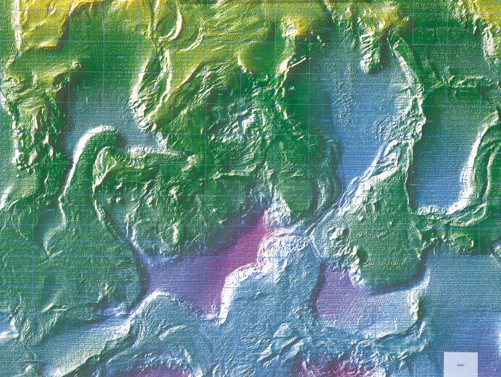
ESRI's annual User Conference is the biggest show in GIS.And the most popular item in the goodie bag handed out to conference attendees is the annual ESRI Map Book.First published in 1984, the book has become the most gorgeous collection of GIS-produced maps available.

Click here to enlarge
Click here for Map Gallery Entry
This year's book, subtitled "Implementing Concepts of Geography", contains 120 pages of maps covering applications such as agriculture, cartography, crime analysis, geology, healthcare, and telecommunications.The book is perfect-bound on four-color gloss-finish stock.
Many of the maps for the original, 1984, edition came from the fourth annual ESRI User Conference.That first book contained 35 maps and was black and white.By 1986 the volume sported its first color cover.
Click here to enlarge
Click here for Map Gallery Entry
"Most of the maps come from the User Conference, but I get a considerable amount of submissions from our International conferences and individual submissions," says Nancy Sappington, the current editor of the ESRI Map Book."One of the first steps in the selection process is for the graphic artist, me and my boss to sit down and review each map.This year that meant going through more than 500 maps."
About half of the submissions are culled at this stage.The remainder are logged in a database and categorized.Maps may then be solicited from specific industry sectors to ensure even representation.
Click here to enlarge
Click here for Map Gallery Entry
Sometime before the end of the year a Saturday meeting is scheduled with Jack Dangermond, President of ESRI.Explains Sappington, "the three of us plus Jack review each map.By now we're looking at about 250-300 maps.Each of us has certain specific criteria in mind: Jack looks for interesting GIS implementations, the graphic artist is concerned about reproduction quality, I look for story possibilities, and my boss keeps track of which industries the maps cover.
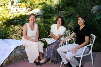
L to R: Sue Morasco, graphic designer; Nancy Sappington, editor; Karen Hurlbut, senior editor
"By this point the artist will have prepared three or four possible layouts for Jack to review.By the end of the day, we will have selected all the maps for the book, with at least five alternates."
The next step is to notify all of the authors, either by phone or e-mail.As the production process begins she will send out layouts and approval forms to the authors.
Click here to enlarge
Click here for Map Gallery Entry
This is where the fun begins, especially when you have to track someone down in Russia or Turkey!" says Sappington.
Five different editors have worked on the book since 1984.
_________________________
The maps illustrating this article are also available, with detailed descriptions and attribution, in our Map Gallery.
Order the ESRI Map Book here.