TRACKING HURRICANE RITA
NOAA's Operational Significant Event Imagery team produces high-resolution, detailed imagery of significant environmental events which are visible in remotely-sensed data available at the NOAA Science Center in Suitland, Maryland (Source NOAA).Here is their image of the day (Click for larger image):

U.S. Government Map Resources for Hurricane Rita:
NOAA's Operational Significant Event Imagery team produces high-resolution, detailed imagery of significant environmental events which are visible in remotely-sensed data available at the NOAA Science Center in Suitland, Maryland (Source NOAA).Here is their image of the day (Click for larger image):
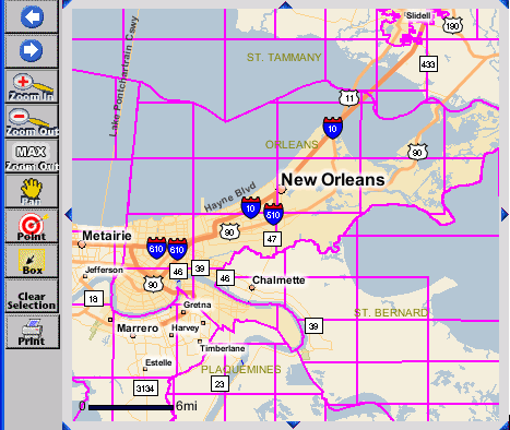
U.S. Government Map Resources for Hurricane Rita:
 |
National Oceanographic and Atmospheric Administration (NOAA) (Live Data Feed) - Storm Tracker For Hurricane Rita |
 |
National
Weather Center Doppler Radar (Live Data Feed) - For Houston/Galveston, TX |
 |
National Hurricane Center - Infrared Satellite |
 |
National
Hurricane Center - Hurricane Rita Strike
Probabilities |
 |
Federal Emergency Management
Administration (FEMA) Flood
Map Store |
 |
National Weather Service
(Live Data Feed) - Storm Prediction
Center |
 |
The National Weather Service
(Live Data Feed)
- Warnings, Watches
& advisories |
From Our Homepage
Saying Farewell to an Amazing Journey
Communicating with Maps
Is There a GIS Career Ladder?
What does it mean to be geospatially smart? Series
Ways Real Estate and Property Developers Utilize Melissa GeoData for Data-Driven Decisions
Unlocking Value From Daily Satellite Imagery and Insights
Maximizing the Value of Your Address Data with Geo Addressing
How Indoor Mapping Enhances the Security of Smart Buildings
Look Ahead: AI, Location Intelligence and Efficiency
Collaboration Takes on Sea Level Rise & Dynamic Technology Environments
Brownies for Brownfields
Has Everything Been Mapped Already?
How Is Data Literacy Changing in an Artificial Intelligence Landscape
Portfolios for GIS Professionals: More Than Just Maps
How to Create a Distance Matrix in QGIS - A Step-by-Step Guide
7 Ideas for Bringing GIS into the K-12 Classroom
The Geography of Movement