Sentinel Imagery Now Works Inside ArcGIS
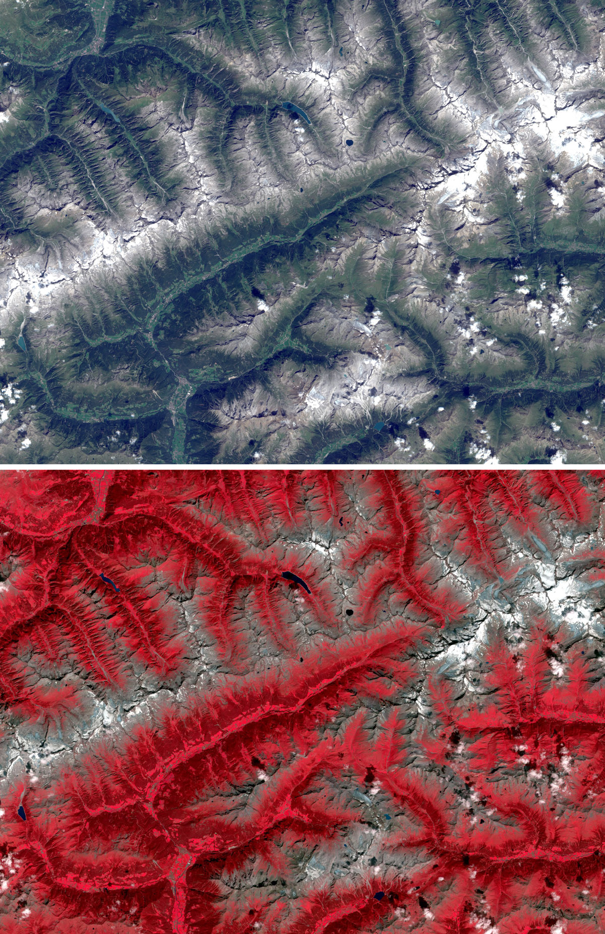
Esri enhanced its ArcGIS technology to simplify the use of free global imagery from the Sentinel-2 satellite launched by the European Space Agency. ArcGIS supports visualization, interpretation, and analysis of Sentinel imagery, which is of significant value in applications for forestry, agriculture, land resources management, and environmental monitoring.
"Scientists and GIS professionals rely on consistent access to high-quality imagery data and information products for a range of applications in their work observing, modeling, and predicting Earth systems," said Lawrie Jordan, Esri's director of imagery and remote sensing. "Sentinel imagery can also be enhanced by the Landsat imagery already available in ArcGIS Online, which provides additional temporal depth."
One of the unique capabilities ArcGIS offers is that it can work simultaneously with a wide range of spectral bands and indices at different resolutions. ArcGIS has image processing and analysis tools that allow people to view and analyze all types of imagery.
Institutions, organizations, and startup businesses use ArcGIS to manage, analyze, and share imagery and applications related to land monitoring, maritime, climate, and security issues.
For those working with a large collection of images, Esri released an image management workflow for Sentinel. The workflow ensures that Sentinel scenes can be quickly served as dynamic image services, making the full information content accessible to applications for use on desktop, web, and mobile devices. All processing is applied on the fly, with no intermediate storage required.
"The single-button image management workflow tool is an easy way to share and provide access to a wide range of derived Sentinel-2 imagery products," said Jordan.
Find specific and technical details on the Esri blog.
# # #
About Esri
Since 1969, Esri has been giving customers around the world the power to think and plan geographically. The market leader in GIS, Esri software is used in more than 350,000 organizations worldwide including each of the 200 largest cities in the United States, most national governments, more than two-thirds of Fortune 500 companies, and more than 7,000 colleges and universities. Esri applications, running on more than one million desktops and thousands of Web and enterprise servers, provide the backbone for the world's mapping and spatial analysis. Esri is the only vendor that provides complete technical solutions for desktop, mobile, server, and Internet platforms. Visit us at www.esri.com.
Esri, the Esri globe logo, GIS by Esri, ArcGIS, www.esri.com, and @esri.com are trademarks, registered trademarks, or service marks of Esri in the United States, the European Community, or certain other jurisdictions. Other companies and products mentioned herein may be trademarks or registered trademarks of their respective trademark owners.
Press Information:
Karen Richardson, Esri
Tel.: 909-793-2853, extension 1-3491
E-mail (press only): press@esri.com
General Information: info@esri.com