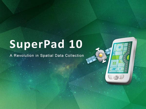
Supergeo Announces the Official Release of SuperPad 10
Integrating GNSS and GIS technologies, SuperPad 10 is mobile GIS software designed for Windows and Windows Mobile OS. As one of the most popular mobile software of Supergeo, SuperPad not only fulfills the basic needs for spatial data collection but also can provide advanced features for surveyors, including high-precision positioning, OnlineMapTool, and so on.
Before the end of February, the first stable version of SuperPad 10 was released. Compared to SuperPad 10 Beta, this version not only improved the manipulation but also slightly adjusted some features, brining a more pleasant user experience both on tablet computers or PC. After this release, Supergeo is now focusing on developing the connection to Cloud Storage. By enabling users to import or export data to Google Drive or Dropbox, this feature helps the crew members share and apply collected data in an effortless way. The support for SQLite database is also under development, which would help users to manage the data more comprehensively.
In short, SuperPad 10 will integrate more capabilities of data storage and data management. By using an all-in-one mobile GIS, Supergeo wishes it will reduce the instruments should be brought to the field and the time spent on communication between the crew members and hence significantly enhance the efficiency of the fieldwork. On March 22, 2017, Supergeo will host a webinar focused on the new features of SuperPad 10. Let’s learn how to apply them to various fieldworks together and improve the workflow!
Sign up and download the free trial of SuperPad 10:
http://www.supergeotek.com/download_6_mobile.aspx
Reserve Your Spot for SuperGIS Webinar:
http://www.supergeotek.com/support_ComingWebinars.aspx?Type=Upcoming&ID=1535

About Supergeo
Supergeo Technologies Inc. is a leading global provider of GIS software and solutions. Since the establishment, Supergeo has dedicated to providing state-of-the-art geospatial technologies and comprehensive services for customers around the world. Our vision is to help everybody gain geographic insights with practical, professional, and affordable GIS software and create a better future.
Supergeo develops desktop, mobile, and server GIS software, which can efficiently help users to collect, manage, and publish spatial data in one single platform.
Marketing Contact:
Eugene Tseng
Supergeo Technologies Inc.
5F, No. 71, Zhouzi Street, Taipei, 114, TAIWAN
TEL:+886-2-2659-1899
Email: eugene@supergeo.com.tw