This brought to you by Hexagon Geosystems.
Geospatial CaaS: a cost-effective way to get high-quality imagery
We are living in a time of rapid change. Cities are growing and changing, urban areas are constructing new buildings for residential and commercial use, rural areas are developing as transportation infrastructure evolves, and farmlands are adapting to feed a growing population. To monitor this constant change, accurate and current maps are becoming increasingly important. Unfortunately, rapid change often outpaces how fast we can map these areas.
Typically, when changes occur, a government entity recognizes the change and starts a lengthy process to secure a budget, issue a tender with acquisition specs and engage a vendor who acquires the data to capture the changes. However, the reality is not so simple. New maps are expensive to acquire, and the tender and acquisition process is so extensive that, more often than not, the maps arrive too late to help manage the change.
A better way: geospatial content-as-a-service (CaaS)
To address this challenge, there has been a rise in geospatial CaaS, a licensed data program that continuously captures geospatial imagery and provides updated maps on demand. Such CaaS programs collect data according to consistent specifications and continual refresh schedules, creating a standardized product suitable for many applications.
The users of these CaaS programs pay a significantly reduced price because they are essentially underwriting the collection cost collectively. Using the principle of a sharing economy gives everyone equal access to the same data and democratizes high-quality geospatial data. This leads to major cost savings for many organizations.
Custom data collections still have a valid place in the market, but rather than immediately tossing time, energy and funds at RFPs for custom acquisitions, start your project by evaluating whether there is a viable CaaS partner that can provide the data you need off the shelf. A CaaS model delivers far greater flexibility in purchasing and licensing.
With a vendor that delivers a high level of accuracy and coverage, you can focus on the imagery you need and the results you demand, rather than data collection, storage and management.
CaaS programs offer fast, cost-effective access to geospatial data
Not all vendors are created equal
Deciding how to approach imagery data and developing a strategy for using it is essential. Here are five critical factors to consider when selecting a CaaS provider:
Factor #1: Data Accuracy
The best providers focus on geospatial image quality, metadata standards, and human curation to ensure a consistent, cohesive data set. They also focus on their collection plans and fly the entire State in the same flight season with best-in-class mapping technology.
Factor #2: Coverage
When a project covers a large area, several regions or rural areas, the choice of CaaS programs that can deliver the data reduces dramatically as most CaaS programs focus on densely populated areas. Make sure you work with a vendor that has complete coverage of your area of interest.
Factor #3: Data Flexibility and Agility
A framework that supports data streaming from the cloud minimizes costs, allows higher flexibility with your data, and eliminates the need for local storage. If you need to own the data, CaaS vendors can cover that, too. Ask if your vendor offers the option to stream and download.
Factor# 4: Licensing Terms
Licensing terms have unintended benefits and consequences. Ideally, a geospatial data vendor’s license allows an organization to use and flexibly repurpose data. This includes the ability to apply AI and machine learning algorithms to derive information from the data. A broader licensing model means you’re not bound by the limitations of GIS applications.
Factor #5: Consulting and Service Expertise
Best-in-class CaaS vendors prevent frustration by delivering consulting and service expertise. Look for a vendor with a professional support team to call if you encounter problems. A well-designed service and support model can simplify things in unexpected ways.

Key factors that define the quality of your data provider
The Hexagon difference
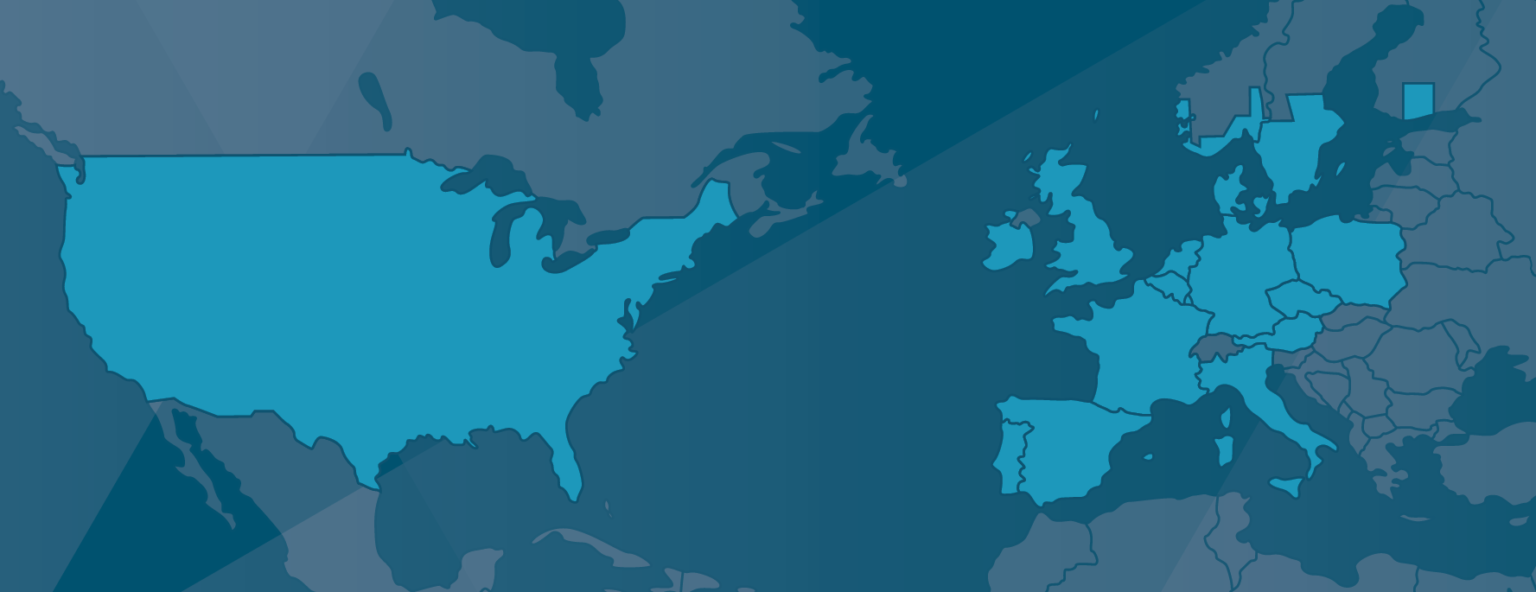
At Hexagon, we’re making CaaS a reality. With our network of collection partners, the HxGN Content Program—our CaaS initiative—is in its eighth year of continuous collection. The program has captured 23 million square kilometres of data in North America and Europe, which is easily accessible online via pixel download or subscription models.
High-quality multispectral imagery can only be achieved with the industry’s best sensor technologies, which is why our experienced content partners use only the latest airborne cameras developed by Leica Geosystems. These systems produce the highest range of spectral information possible in all sensor-recorded data and full multispectral color in RGBN.
Hexagon offers streaming licenses for orthophotos and pixel delivery for orthophotos, elevation data and stereo imagery across the United States, Europe and parts of Canada. This product portfolio offers the foundation for a more comprehensive yet simplified geospatial data framework.
Business relationships revolve around trust. A CaaS framework with a top-tier vendor, such as Hexagon, can help your organization unlock the full value of geospatial data.
