Whenever we start to talk about artificial intelligence, machine learning, or deep learning, the cautionary tales from science fiction cinema arise: HAL 9000 from 2001: A Space Odyssey, the T-series robots from Terminator, replicants from Blade Runner, there are hundreds of stories about computers learning too much and becoming a threat. The crux of these movies always has one thing in common: there are things that computers do well and things that humans can do well, and they don’t necessarily intersect. Computers are really good at crunching numbers and statistical analysis (deductive reasoning) and humans are really good at recognizing patterns and making inductive decisions using deductive data. Both have their strengths and their role.
The Proliferation of Data
With the massive proliferation of data across platforms, types, and collection schedules, how are geospatial specialists supposed to address this apparently insurmountable task? Should we just ignore some data streams and focus on others? While that lightens the load, our complex ecosystems demand the latest data from any number of sensors in several formats. Just sifting through all the data to determine what is actionable and what can be archived for later can be a daunting challenge.
Other sectors have begun solving similar challenges. Search engines are deluged with photos, but they can search and categorize photos instantaneously using advancements in Machine and Deep Learning. Can the geospatial sector better harness this image processing power to perform more commercial and administrative tasks? In addition, can this technology handle the massive amounts of geospatial imagery collected every day without overburdening geospatial professionals?
Yes and yes. For years, we have been leveraging Machine Learning algorithms that can be trained to automatically ingest and process ever-growing amounts of data, taking the load off analysts and freeing them up to do the work that humans do best. They also offer a drag-and-drop workstation environment where users can easily navigate through and refine the feature detection results. Now, deep learning is also poised to enhance image processing for an expanding number of vertical applications including land cover classification, forest fire prediction, crop disease detection, rooftop extraction, target identification, and change detection.
A Historical Look
Artificial Intelligence has been around since the 1950s and machine learning has been flourishing since the 1980s. By programming computers to learn from data, machine learning has given us practical speech recognition, effective web search, and a vastly improved understanding of the human genome. Machine learning is so pervasive today that you probably use it dozens of times a day – like in your email spam filter – without knowing it.
Machine learning algorithms are ideal for tackling these kinds of challenges:
- Simplifying solutions that require manual tuning or long lists of rules.
- Finding solutions to complex problems for which traditional approaches offer no good solution.
- Adapting to new data in fluctuating environments.
- Mining large datasets for insights about complex problems.
Machine Learning in Geospatial Technology
From a geospatial perspective, machine learning has long been in wide use. Remote sensing datasets have always been large, so the large data processing power of Machine Learning has been a natural fit. For example, processing satellite images using K Means or ISODATA clustering algorithms was one of the first uses of remote sensing software. In more recent years, Bayesian networks, Classification and Regression Trees (CART), Support Vector Machines (SVM), and Random Forests have all been used to extract features from imagery in user-interactive workstations. Processing data in these workstations can be an intensive, complicated, one-off process. Each time we must reinvent the wheel.
Machine Learning Versus Deep Learning
Machine learning is a subset of artificial intelligence that uses statistical methods to allow systems to learn and adapt their processes without being explicitly programmed. This usually involves using training algorithms and control data to “teach” the system how to solve problems based on the training. Deep learning is essentially the latest incarnation of machine learning using Deep Neural Networks. Compared to the traditional machine learning algorithm, it is much faster, more flexible, and able to persist and accumulate machine intellect during its applications.
The research around deep learning has led to a proliferation of open source APIs – such as TensorFlow by Google and CNTK by Microsoft – which make it possible to leverage the research investment by competing industry giants for image processing in a variety of different arenas. Because of this, it is not only possible to work with their APIs, but we can also insert the necessary geospatial logic into the layers of the neural network to suit location-based applications.
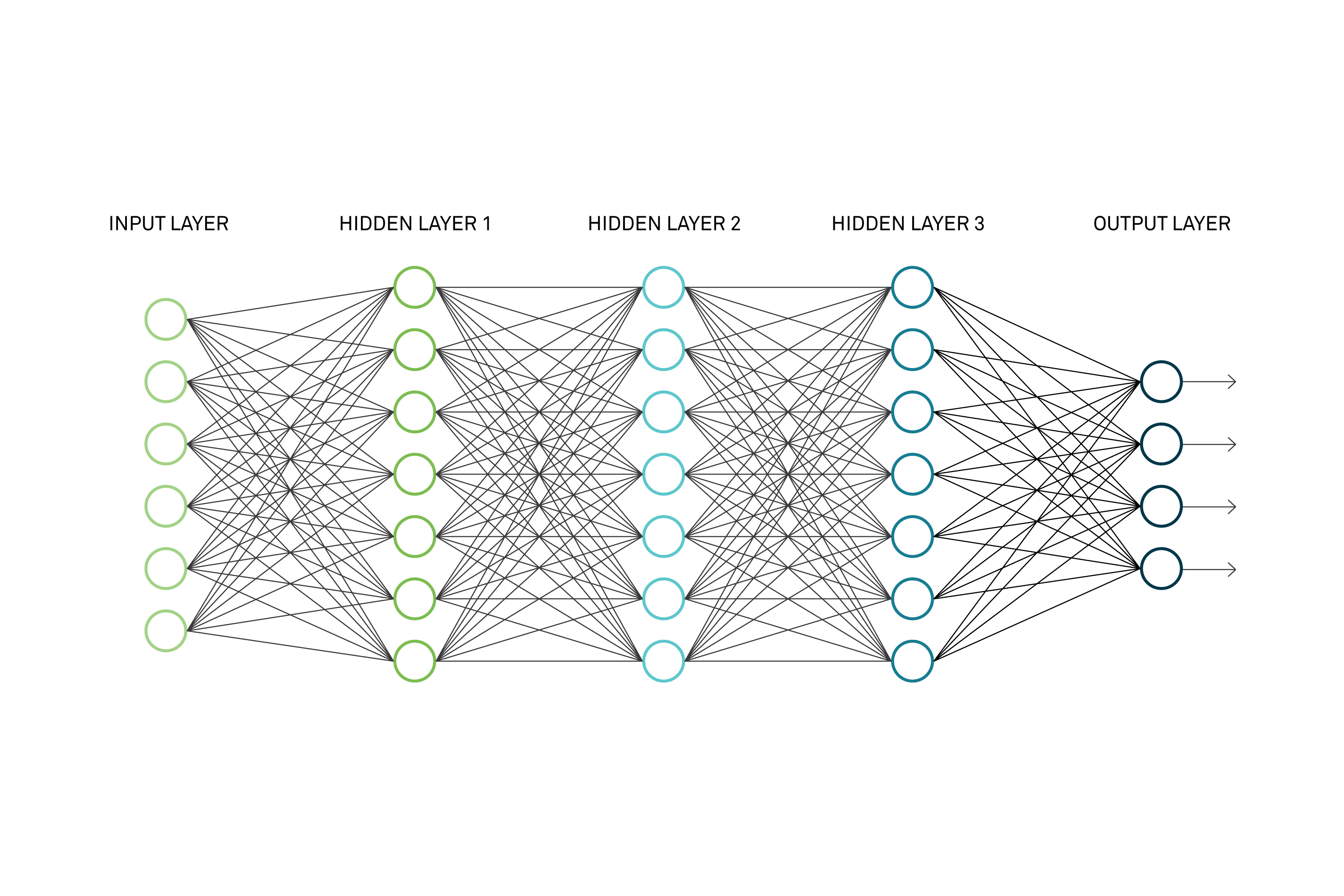
Deep Learning uses Deep Neural Networks, an iterative series of tests, to learning and refining its outputs, continually improving its accuracy.
Geospatial Applications of Deep Learning
In addition to machine learning, key image processing solutions provide multiple ways to harness the power of deep learning. Many geospatial tasks, like automatic feature extraction, also have proven to be challenging, with feature characteristics varying widely from place to place. A deterministic algorithm that performs well in one region may well fail miserably in another. For example, it may be hard for it to distinguish between rooftops across a large dataset. Because it is always learning, a deep learning algorithm can overcome such limitations and train itself to recognize rooftops across the entire region.
Some applications can use both deep learning algorithms and user interaction to iteratively build up the machine intellect. For example, today’s image processing solutions offer a “divide and conquer” target detection workstation where an image is subdivided into grids that are then individually evaluated by the Deep Learning algorithm for probability of feature existence. Once it is sufficiently trained, a deep learning algorithm can run autonomously, kicking off each time a new dataset is received. It can automatically sift through the data, and only engage the geospatial analyst when the data requires it.
A Look Ahead
The artificial intelligence community has made unprecedented progress in machine learning and deep learning in the last two decades – with no sign of slowing down. Many geospatial solutions continue to evolve as we learn more about deep learning. For example, instead of simply answering a Yes/No question – e.g., is this an airplane? – the latest incarnations have the ability to identify and then to accurately pinpoint it in an image. Deep learning can take the heavy lifting off the human’s shoulders, doing what computers do best – crunching numbers – and leave the tradecraft to the analyst. All the Hollywood messaging aside, these algorithms are nothing to fear – at least not yet.