This article brought to you by ROK Technologies.
The COVID-19 pandemic continues to alter the way governments and industries conduct business. With this pandemic’s quick arrival and slow exit, organizations are noticing the downsides of traditional remote telework and the need to adopt a digital-first approach to achieve virtual success. They are figuring out how to conduct business and keep staff engaged when no one is in the office; how to follow federal and state recommendations and still meet revenue goals; how to provide resources the public needs while staying safe; and how to map & model enterprise GIS for pandemic response effectively.
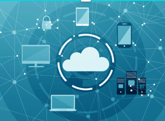
The cloud can provide relief for these situations and many more. Understandably, committing to a full cloud migration at this time may not be realistic; there may not be the luxury of time, resources or approved budget to make such a decision. However that doesn’t mean organizations can’t leverage the power of the cloud now to empower your workforces. Taking a small step today can lead to a more resilient organization when faced with large-scale disruptions in the future.
This small step today is a cloud-based VDI solution known as DaaS, or Desktop as a Service. DaaS is an outsourced solution that allows customers to obtain a VDI infrastructure quickly and without an initial investment. Take note, this isn’t your old-school typical on-premise server-hosted virtual desktop model, centered on the data center. DaaS is the culmination of a maturing SaaS model of desktop computing. There are many DaaS vendors but the leaders are Citrix, AWS and Microsoft.
Working remotely for GIS specialists can be challenging without a cloud environment for their data and applications. For example, an organization that collects massive amounts of data and needs to push updates to their geodatabase in real time may not have the on-premise servers to handle the load. Now add a nationwide workforce attempting to access it via a remote desktop connection. Now add the graphics and compute requirements of the ArcGIS platform on top. What you are left with is a frustrated team unable to access, map, analyze, disseminate, or collaborate effectively.
Fishbeck, an Architecture, Engineering & Environmental Services firm, “has been challenged to work remotely on a larger scale than had ever been anticipated. Our recent decision to move our GIS data to a remote server has allowed us flexibility in accessing and managing our files” says Caryn Ashbay, GISP, Senior GIS Specialist at Fishbeck. “That decision has proven to be a valuable solution in the current climate.”
With a VDI solution in place, organizations can realize a number of benefits. The desktop computing takes place on the host server, rather than at the endpoint device, so the hardware requirements for the endpoint are lower. This makes it easier to support a diverse range of remote and mobile devices, with various operating systems and versioning needs. Security is also a key benefit of DaaS. Since the data lives in the cloud with the host server and not on the endpoint device, any loss limits the exposure of that data. Also, regardless of location, each workforce member has access to the same up-to-date network, resources and applications. Organizations can create persistent desktops, customized to suit each user, while the data remains centralized in the core data center.

Organizations will always find work arounds during a crisis - a short-term solution for immediate pain-points, but moving to a cloud environment enables greater flexibility, productivity and collaboration for your workforce. If you are relying only on-premise data centers, your organization will be vulnerable to disruptions like the one we are all experiencing today. The cloud can empower organizations to be more mobile, resilient and virtual.
As the needs of a remote workforce diverge due to events like this pandemic, the ability to deliver a centrally managed desktop virtually is likely to become even more crucial for organizations. And so an answer to that need comes via a quick-build, emergency cloud relief solution that enables workforces with increased speed and performance of their data and applications within 24 hours. “This is an excellent option where GIS technology is housed on-premise and users can either no longer access, or, have slow access to their technology due to work-from-home and social distancing requirements”, says Alexandra Coleman, CEO at ROK Technologies, LLC. This quick-build package deploys an Enterprise Geodatabase on top of a SQL server, an ArcGIS server, a web server, file server or any number of Citrix virtual desktops in Amazon Web Services (AWS). Emergency cloud relief will increase the speed and accessibility of the ArcGIS platform’s graphic-heavy computing requirements as well.
ROK Technologies will set up your organization’s secure, private emergency cloud environment as part of a monthly subscription and provides dedicated managed service hours to ensure you have a cloud-GIS expert making your environment run optimally. The subscription includes incident management, security management and OS updates. Whatever our new normal looks like, your organization will be better prepared with the proper cloud technology in place.
Learn more about the Emergency Cloud Relief Quick-Start Solution.
“Our hope is to enable these organizations to get up and running quickly so they can continue the important work that they do, “ says Alex Coleman, ROK Technologies’ CEO. ROK reinforces the same sentiment as Jack Dangermond, Esri’s President & Founder, “Our job is to help you, our users, be the heroes that you are.”
About ROK Technologies
As an Esri business partner for over 20 years, AWS Advanced Technology Partner & Microsoft Azure Certified Partner, ROK Technologies, the premier global provider of GIS Managed Cloud Services, specializes in architecting, configuring and managing the entire ArcGIS® Enterprise Suite in the Cloud.
ROK Technologies is here to help today, tomorrow and in the future, with emergency cloud relief as well as full digital migrations and transformations. We move your GIS to the cloud. Give us a call or send us an email; we look forward to having a conversation with you.
Visit www.roktech.net. Follow us on Twitter and LinkedIn. Connect with us at info@roktech.net or 888-898-3404.