Bluesky’s Aerial Laser Maps Drive Creative Golf Course Design
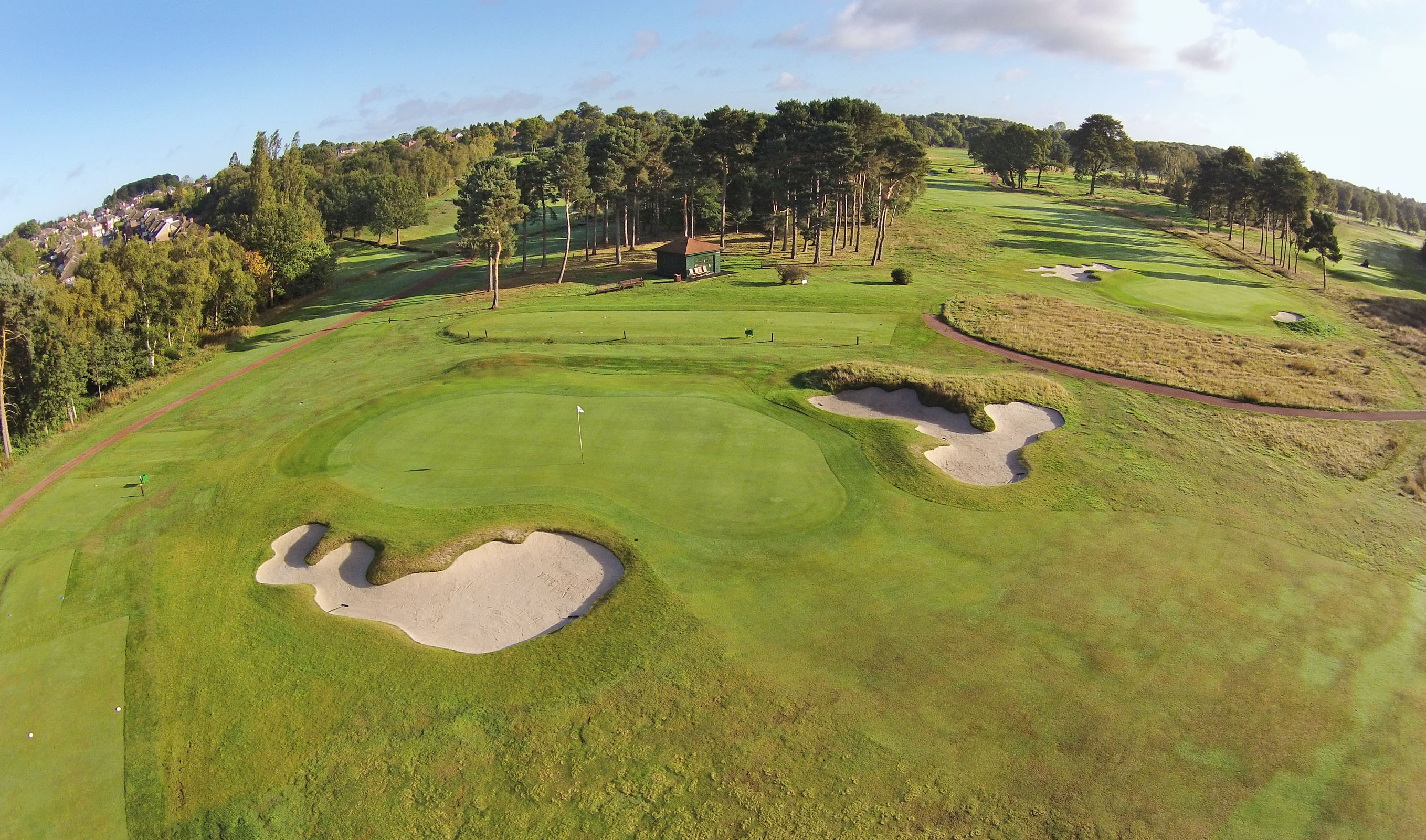
High resolution aerial photography and 3D terrain maps created from airborne laser surveys are being used to design new golf courses. Creative Golf Design, an award winning firm of golf course architects, regularly downloads the highly detailed images from Bluesky’s online MapShop to provide a map-accurate base onto which course design and improvement plans can be drawn. The Bluesky height (LiDAR) data is also helping them to provide 3D context for their designs, illustrating changes in terrain as well as the location and extent of existing features such as boundary features, vegetation and woodland areas.
“The Bluesky aerial photographs provide a map-accurate base for our proposals and a real world context for our drawings,” commented Ken Moodie, Director of Chester based Creative Golf Design. “This not only improves our understanding of the site, informing the design, but also helps us communicate our design ideas to our clients. Using CAD software to manipulate LiDAR data, we are also able to produce a detailed 3D model and contouring of a development site, or existing golf course, on which we can overlay our design proposals.”
Creative Golf Design provides design and consultancy services to the golf industry. The company is involved in the design of new golf courses and also in advising golf clubs on course improvement projects including the development of new greens, tees, bunkers, practice facilities, drainage works, and even woodland management issues. Creative Golf Design uses the Bluesky aerial photographs and LiDAR data to create a masterplan for the golf course or development site prior to commissioning a full topographic survey, and to assist with the preparation of drawings for a planning application.
The datasets used by Creative Golf Design are purchased from Bluesky’s online Mapshop, which offers complete UK coverage of aerial photography from multiple epochs, 3D models (Digital Terrain and Surface Models DTM / DSM), LiDAR data, Thermal Mapping and the National Tree Map™. Visitors to the Bluesky Mapshop can also download free of charge geological, land cover and flood maps, as well as places of interest, census areas and collections of themed data such as farming, marine and habitats.
“The Bluesky Mapshop is a very straightforward and cost effective way to access a range of data that we have come to rely on in the early stages of a project,” concluded Moodie.
Contacts: Bluesky, +44 (0)1530 518 518, www.bluesky-world.com