
Water Earns Water Tech Solution of The Year


A leading market intelligence group focused on climate and clean technology has honored Water in the third annual CleanTech Breakthrough Awards, naming it Water Tech Solution of the Year for its contribution to next-generation environmental technology.
Award Recognition in Clean Technology
The program highlights organizations delivering meaningful progress in climate innovation, and Water stood out for turning advanced remote sensing and actionable intelligence into a practical tool for field use. The recognition reflects growing demand for cleaner engineering solutions that improve water management, infrastructure planning, and environmental analytics across agriculture and other sectors.
Its practical uses extend across a range of field operations. In agriculture, teams can monitor irrigation performance, detect plant stress, and improve soil management. In environmental work, the system can support land surveys, vegetation studies, and climate observation. The same capabilities can also assist infrastructure planning and site inspection by revealing conditions that are difficult to see with conventional imaging alone.
How the Imaging System Works
At the core of the system is Quantum Solutions' Quantum dot approach to Infrared imaging. When exposed to light, each tiny particle emits a controlled color signature, enabling spectral imaging, sensing, and visualization beyond the visible spectrum. This shortwave radio and short-wave infrared capability expands the usable spectrum of information, giving operators access to data that standard optics cannot easily detect.
| Feature | Description | Benefit |
|---|---|---|
| Sensor performance | Advanced imaging captures information beyond standard optics | Improves detection in complex field conditions |
| Image resolution | High-detail spectral output supports precise analysis | Provides sharper field-level insights |
| Interpretation | Clearer imaging reveals conditions hidden from ordinary view | Helps operators make faster, better-informed decisions |
This type of aerospace-inspired remote sensing has relevance well beyond one industry. Similar imaging science is discussed at SPIE and explored by research groups from the University of Oxford to teams in Japan, including work connected to Yokohama, where optics, energy, and environmental engineering continue to intersect. The same class of imaging can support archaeology, climate observation, vegetation studies, and soil analysis by producing a more detailed map of field conditions.
From Satellite Orbit to Drone Operations
The Water payload brings Satellite-based Normalized Difference Moisture Index readings down from orbit and places that capability on an Unmanned aerial vehicle. Instead of waiting for conventional Satellite passes, operators can Fly missions on demand using platforms such as DJI systems and the DJI Matrice line. That shift delivers water intelligence at field scale with image resolution that can reach up to 1,000 times the spatial detail available from Satellite data.
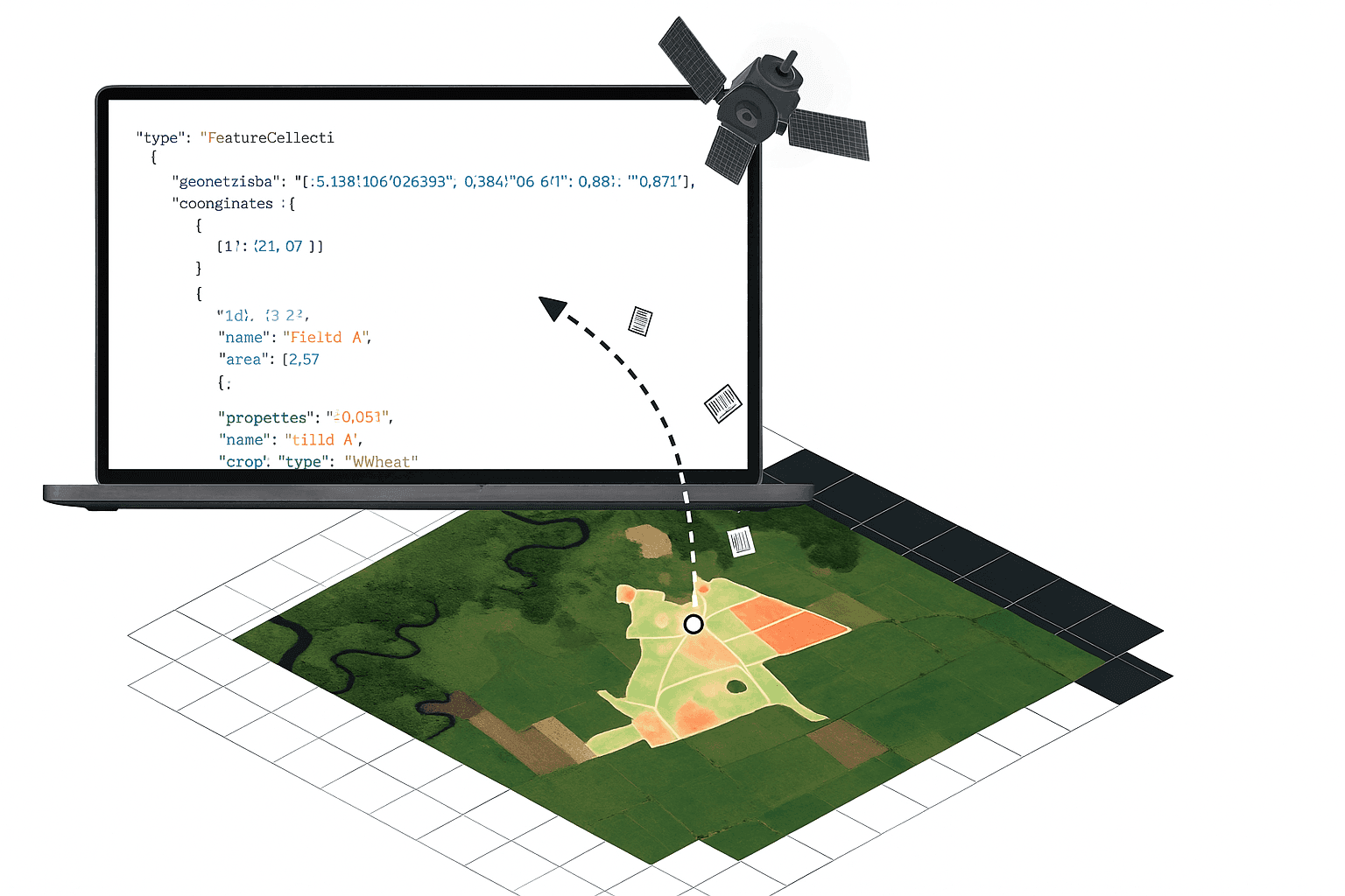
By mounting the payload on a drone, teams can capture Moisture information with far greater flexibility and convert raw data into practical analytics. The result helps users:
- Assess water availability
- Identify plant stress
- Examine conditions across entire properties
- Examine conditions across individual rows
- Examine conditions at the leaf level
In agriculture, this improves crop decisions and soil management. In broader land management and environmental monitoring, it strengthens climate response, supports infrastructure oversight, and enhances remote sensing workflows with actionable information gathered by a high-performance sensor system.
Together, the payload, the imaging technology, and the data pipeline demonstrate how clean-tech innovation can move from orbit to the field in a form that is usable, precise, and scalable.


