
Best Drones For GIS Mapping: Uav Power For Geographic Information Systems


Across many sectors today, professionals rely on digital platforms such as Geographic Information Systems after evaluating the best drones for GIS mapping, because these tools recast how locations are recorded, studied, and shown to stakeholders. In earlier eras, practitioners leaned on satellite scenes, crewed flights, and boots-on-the-ground surveys; now, compact unmanned aircraft provide richer detail, greater agility, and lower cost for aerial intelligence.
With modern payloads aboard, small aircraft carry advanced sensor packages and high-resolution cameras that capture precise geospatial observations. As a result, GIS applications gain improved accuracy and faster geospatial data collection from UAVs.
Building on this momentum, Sairone from Saiwa blends artificial intelligence with machine learning to automate decisions across farms, greenhouses, and ecological monitoring. When paired with drone technology, Sairone streamlines data acquisition and analysis, helping teams act sooner and with better outcomes.
In the pages that follow, the interplay between drones and GIS takes center stage, covering enabling tech, real-world uses, tangible benefits, and the hurdles that still need thoughtful solutions.
To anchor the discussion, the next section clarifies core concepts and sets up the surveying workflow used throughout the article.
What Is GIS Mapping for Surveying and Mapping?
Far beyond simple cartography, this discipline provides a cohesive way to build, manage, analyze, and display location-based information. The approach supplies context for how places connect and how patterns evolve over time.
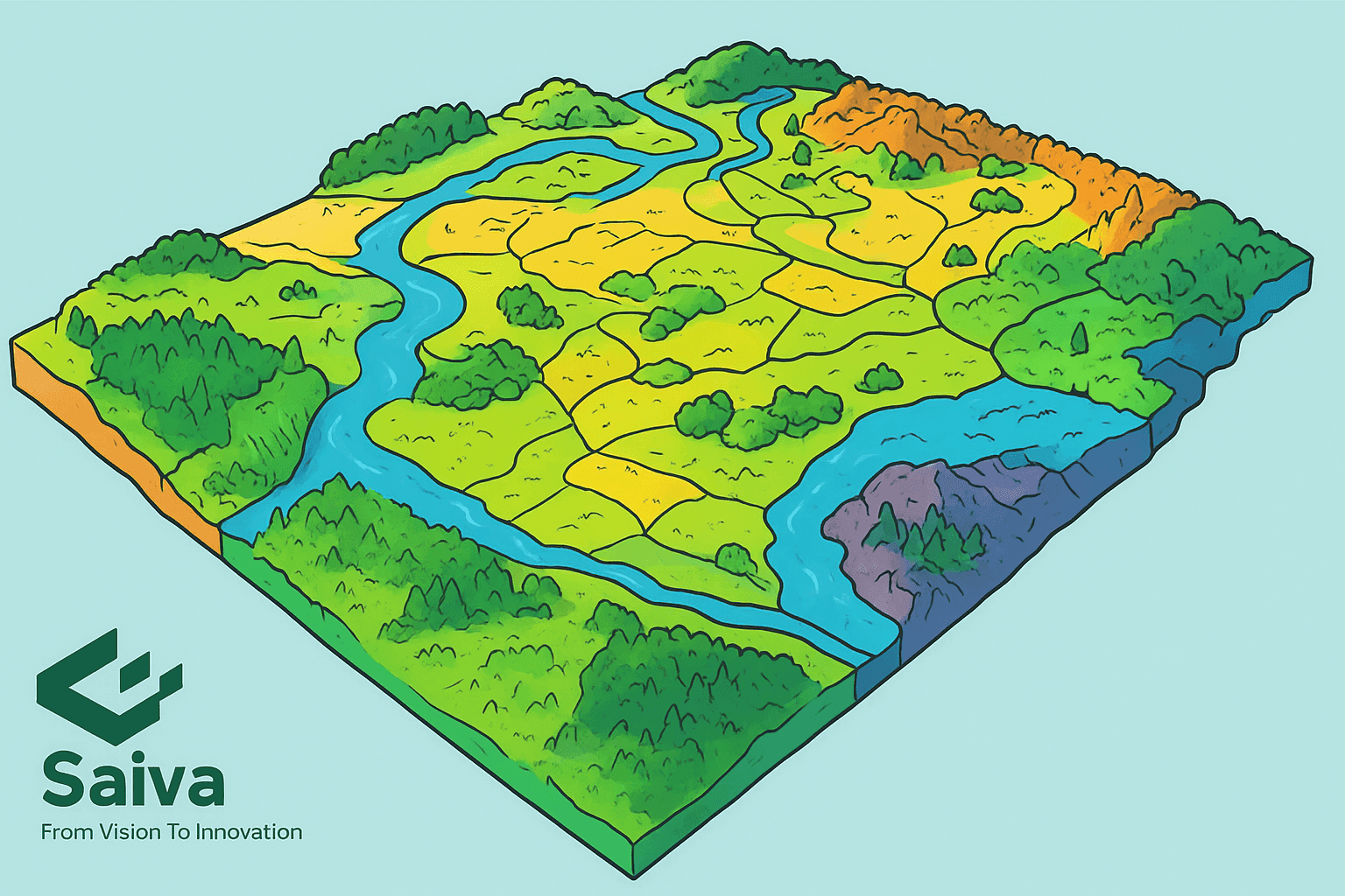
At its core, a GIS combines hardware, software, and structured datasets to capture, store, transform, and present geographically referenced content. Information commonly appears as stackable layers, letting analysts compare elevation with land use, population intensity, utilities, or habitat characteristics inside one spatial view.
By interrogating these layers and their relationships, decision-makers uncover spatial trends and hot spots that guide action in many fields. Representations can describe mountains and rivers, but also roads, buildings, pipelines, power corridors, and additional human-made features on the Earth’s surface.
GIS Mapping Workflow and Key Components
The following building blocks make up a typical geospatial workflow, from first capture to final map products and 3D model outputs.
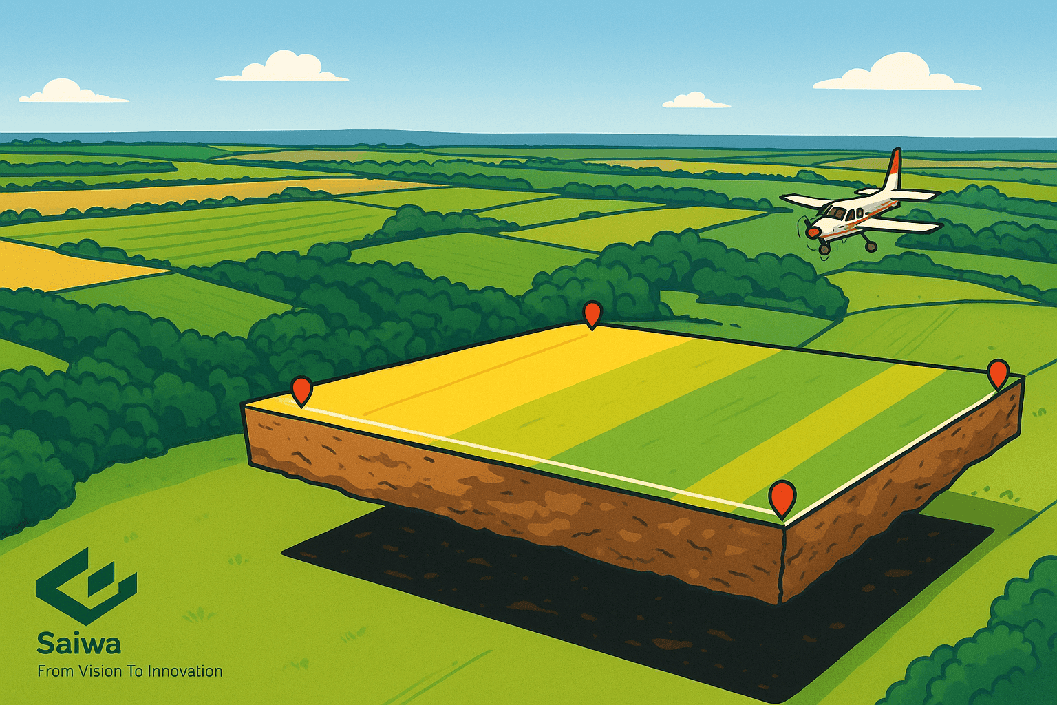
Data acquisition comes first: teams gather locations from satellites, conventional aerial sources, drones, ground GPS, LiDAR scans, and even community contributions. Choices depend on needed precision, budget, and the survey objective.
Data storage follows: geodatabases organize geospatial content so it can be retrieved efficiently, edited safely, and maintained at scale for ongoing projects.
Data analysis provides the payoff: spatial operations transform raw inputs into insight, from flood-risk screening to route optimization to habitat distribution modeling.
Data visualization closes the loop: clear maps, charts, and 3D scenes convey complex findings in a form stakeholders can understand and act on.
Drones and GIS: The Drone Mapping Workflow
When combined, drones and GIS form a capable system: UAVs collect high-resolution inputs, and GIS platforms assemble, analyze, and present them with photogrammetry or LiDAR-derived surfaces.
Flight Planning for UAV Missions
Before takeoff, crews define corridors, heights, forward and side overlap, and safety buffers while considering air regulations, the area of interest, GSD targets, and obstacles. Solid planning reduces risk and speeds fieldwork.
Aerial Data Acquisition With UAVs
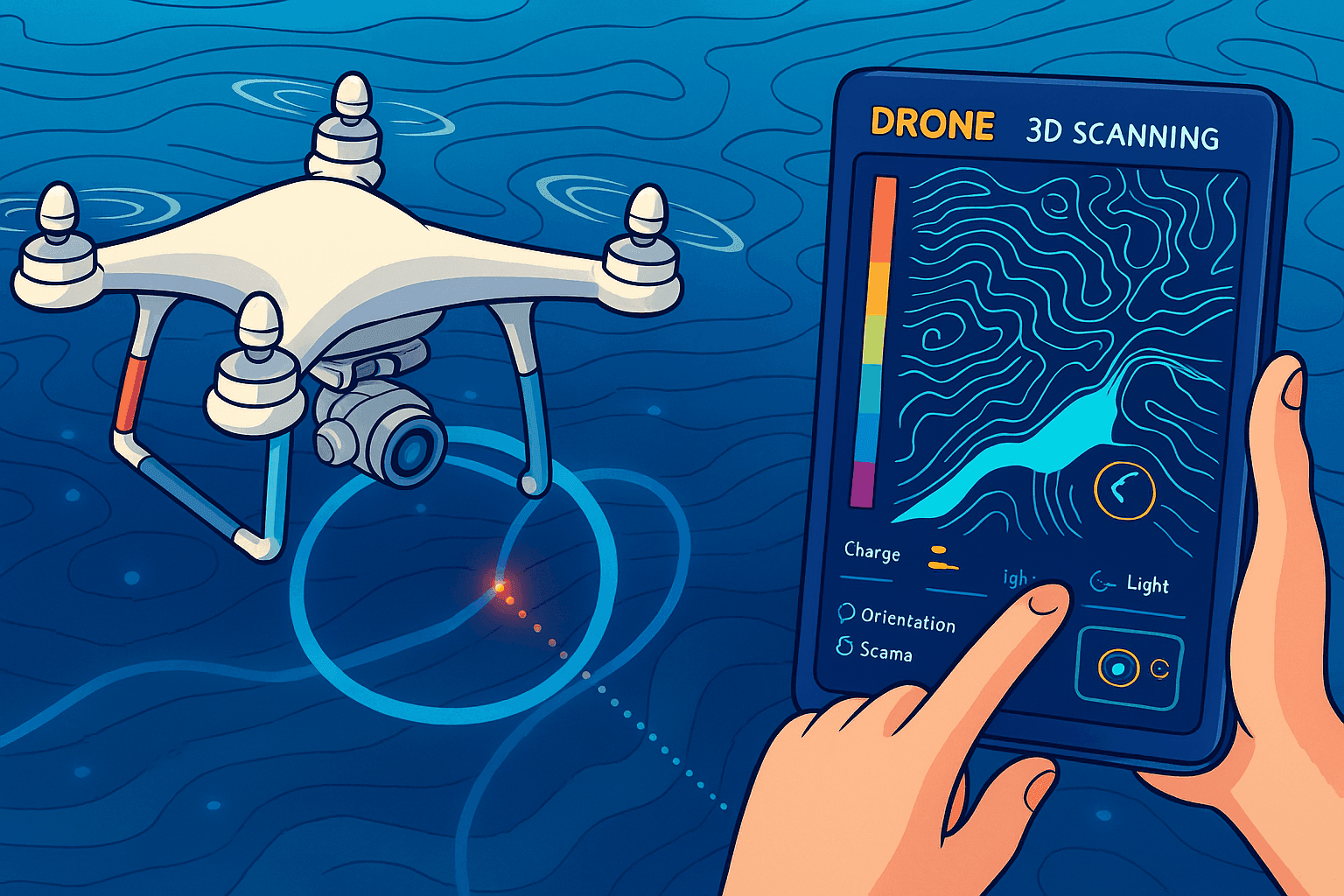
During flight, aircraft carry RGB imagers, multispectral payloads for vegetation indices, thermal sensors for heat signatures, and laser scanners for dense point clouds. Autonomy keeps the aerial vehicle on its programmed course for consistent coverage.
Data Processing and Photogrammetry
Back at the workstation, imagery and point clouds are aligned to a coordinate reference, then orthorectified and mosaicked into a seamless orthomosaic. Software such as Agisoft Metashape accelerates data processing, enabling clean outputs ready for spatial analysis.
Data Integration Using ArcGIS and Other GIS
Processed layers flow into ArcGIS or similar systems, where they combine with base maps, DEMs, or census attributes to produce a more complete view of the study area.
Analysis and Visualization in Drone Surveying
Within the GIS, practitioners compute areas, distances, slopes, and viewsheds, or generate a 3D model to share results. Visual outputs support concise communication and quicker decision cycles.
How UAV Drone Mapping Enhances GIS
The sections below outline the main advantages of pairing unmanned aerial platforms with geospatial analysis for operational gains.
High Resolution and Fine-Grained Detail
At very small ground sampling distances, aircraft capture surfaces with centimeter-level clarity, surpassing many satellite and traditional aerial options. That fidelity supports precise measurements, confident feature extraction, and deeper terrain understanding.
Flexible Access to Hard-to-Reach Places
Steep slopes, dense canopy, disaster footprints, and protected habitats become reachable from above. By using UAVs, teams reduce costs and expand coverage into locations where ground crews would face delays or hazards.
Cost Savings for Targeted Surveys
For compact projects or focused inspections, operating light aircraft can be far more economical than hiring crewed planes. This affordability opens the door to frequent high-resolution updates.
Rapid Deployment and On-Demand Collection
Because mobilization is quick, responders acquire fresh aerial intelligence in time-critical situations such as incident response, active construction, or environmental events, enabling near real-time choices.
Lower Risk to Field Personnel
By shifting exposure from humans to machines in unstable or contaminated locations, organizations mitigate safety concerns without sacrificing data quality.
Types of UAVs Used in GIS Mapping
Different airframes serve different survey goals; the right choice depends on endurance, maneuverability, and the space to be covered.
Fixed-Wing Platforms
Long-range coverage and energy-efficient flight make these airplane-style vehicles ideal for regional mapping, agricultural survey blocks, and linear infrastructure checks, particularly when LiDAR or multispectral payloads must span large corridors.
Multirotor Aircraft
Excellent hovering, tight maneuvering, and VTOL let quadcopters, hexacopters, and octocopters document compact sites, complex structures, and close-range inspections with careful positioning. Many DJI systems exemplify this class.
Hybrid VTOL Designs
By marrying extended flight with vertical takeoff and landing, hybrid UAVs handle both broad-area passes and pinpoint station-keeping in one sortie, increasing versatility for mixed survey areas.
Applications of Drone Mapping in GIS
Adoption spans numerous domains, where aerial inputs reshape daily workflows and inform planning.
Agriculture
Using multispectral or hyperspectral payloads, growers monitor crop vigor, irrigation status, and nutrient issues, then guide variable-rate treatments within precision agriculture programs.
Environmental Monitoring
Teams quantify forest loss, observe wildlife, assess damage from spills or storms, track shoreline change, and measure glacier retreat with repeatable aerial campaigns.
Urban Planning
Cities benefit from up-to-date 3D cityscapes, urban sprawl tracking, infrastructure siting, traffic assessments, and urban heat island studies based on frequent aerial updates.
Construction and Engineering
Site documentation, as-built verification, structural inspection, and progress tracking become faster and safer, while photogrammetry enables accurate volumetrics and terrain change detection.
Disaster Response
Immediately after an event, responders map impacts, outline flood extents, support search efforts, and improve situational awareness through synchronized, high-resolution flights.
Mining and Quarrying
Operations measure stockpiles, monitor pits, audit environmental effects, and enhance safety procedures using routine aerial surveys with consistent flight planning.
Archaeology and Cultural Heritage
Researchers chart sites, document historic structures, and create shareable 3D reconstructions while tracking changes to fragile locations over time.
Advantages of Using Drones in GIS Mapping
The comparative strengths below explain why UAV-supported geospatial projects often outperform legacy methods on accuracy, schedule, and budget.
Greater Accuracy and Rich Detail
Combining high-resolution sensors with controlled flight paths yields sharper maps and tighter measurements, elevating confidence in extracted features and elevation models.
Faster Turnarounds and Efficient Workflow
Streamlined capture and automated processing shorten timelines from field to finished products, allowing teams to iterate quickly on survey deliverables.
Improved Safety and Risk Reduction
By keeping crews out of hazardous zones, organizations maintain data quality while minimizing exposure during challenging assignments.
Lower Costs and Better Resource Use
Compared with many crewed-aircraft missions, small-drone surveys can deliver budget-friendly, high-resolution outputs for compact sites and targeted tasks.
Adaptability and On-Demand Missions
Because UAVs can be retasked for different environments and objectives, the same platform supports diverse mapping needs under changing field conditions.
Challenges With Drones in GIS and Mapping
Responsible deployment requires navigating policy, technology limits, and quality controls to ensure reliable geospatial outcomes.
Regulatory Constraints and Compliance
Rules differ by jurisdiction, operation type, and airspace class, so operators must stay current on permissions and procedures to maintain safe, legal flights.
Processing Workloads and Data Management
Large imagery sets and dense point clouds demand capable software, solid computing, and disciplined data management practices to sustain throughput.
Battery Endurance and Flight Duration
Limited airtime per pack affects coverage and mission length; careful sortie planning and power strategies help maximize efficiency.
Weather Sensitivity and Operating Limits
High winds, precipitation, snow, or temperature extremes can ground aircraft or degrade results, making forecast checks and go/no-go criteria essential.
Accuracy Assurance and Quality Control
Reliable outputs depend on thoughtful mission design, calibrated sensors, robust georeferencing, and ground control points to validate positional accuracy.
Conclusion: The Future of Drones in GIS
Across disciplines, unmanned aircraft now underpin GIS initiatives with unprecedented detail, flexibility, and accessibility, reshaping how spatial information is gathered and interpreted. As sensors improve, data processing advances, and AI expands automation, the capability envelope widens—despite ongoing constraints around regulation and endurance. Looking ahead, the fusion of UAVs with GIS will keep accelerating informed decisions and revealing new spatial insights.
Note: Certain illustrations featured here were created with AI-based tools.


