Cadcorp Launches Mapestry, a Map-based Storytelling Application


Through a fresh tool, conversations become immersive and navigable on maps.
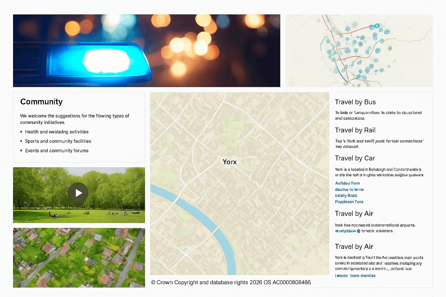
Spatial Information for Stakeholders
After months of development, the market now sees the debut of Mapestry from Cadcorp—an intuitive platform led by content that turns stories into clickable journeys. For teams working with place-specific details, the platform blends map layers, imagery, short video, and narrative text to drive an online engagement space for community members and stakeholders. By bringing a new release to market, Cadcorp introduces a way to communicate location intelligence without friction.
Maps and Data for Spatial Insight
With a focus on clarity, teams showcase spatial details in a highly visual format. Instead of defaulting to PDFs or long-form write-ups, creators assemble responsive pages that fuse interactive map content with rich media. Through smart distillation of complexity, the experience becomes approachable for non-specialists.
Geospatial Building Blocks and Map Controls
Inside the toolkit sit modular sections—often called building blocks—that let people design, save, and publish as many pages as they need with only minimal coding. Themes and layout choices are adaptable, helping teams tailor each narrative for a particular audience. As readers scroll, actions such as panning, zooming to a place, toggling map layers, and revealing feature details can be triggered to animate the journey.
Use Cases Across the UK Public Sector
Dense text can be refashioned into a polished, portable web narrative that lives behind one shareable URL. That flexibility suits managing community risks, public consultation exercises, local plan-making, and housing initiatives. The same approach benefits areas where stakeholder involvement matters—emergency services, local government, and the land and property sector—across the UK and farther afield for any organisation seeking stronger location intelligence after the official launch.