
Advanced 3D Scanning Technologies Transforming the Surveying Industry


The latest generation of integrated 3D scanning total stations is redefining how surveying and geospatial professionals collect and process field data. By combining high-precision positioning, rapid laser scanning, and high-resolution imaging in a single instrument, modern systems dramatically reduce workflow complexity while delivering faster, more accurate project results.
A New Era of Integrated Survey Technology
Traditional surveying workflows often required multiple instruments—total stations, scanners, and cameras—followed by time-consuming data alignment and processing. Next-generation scanning total stations consolidate these capabilities into a single device, enabling teams to capture georeferenced scan data, imagery, and survey measurements simultaneously.
This integrated approach minimizes manual data transfers and eliminates many post-processing steps, allowing professionals to move quickly from data collection to analysis and deliverables.
Faster Data Capture and Reduced Field Time
Advanced scanning instruments now capture dense 3D point clouds at extremely high speeds while maintaining survey-grade accuracy. As a result, projects that previously required several days of fieldwork can often be completed in a matter of hours. Faster acquisition also reduces the need for repeat site visits, lowering operational costs and improving project timelines.
These improvements are particularly valuable in industries such as:
- Construction and infrastructure development
- Mining and industrial surveying
- Topographic and corridor mapping
- Asset documentation and facility modeling
- Cultural heritage preservation
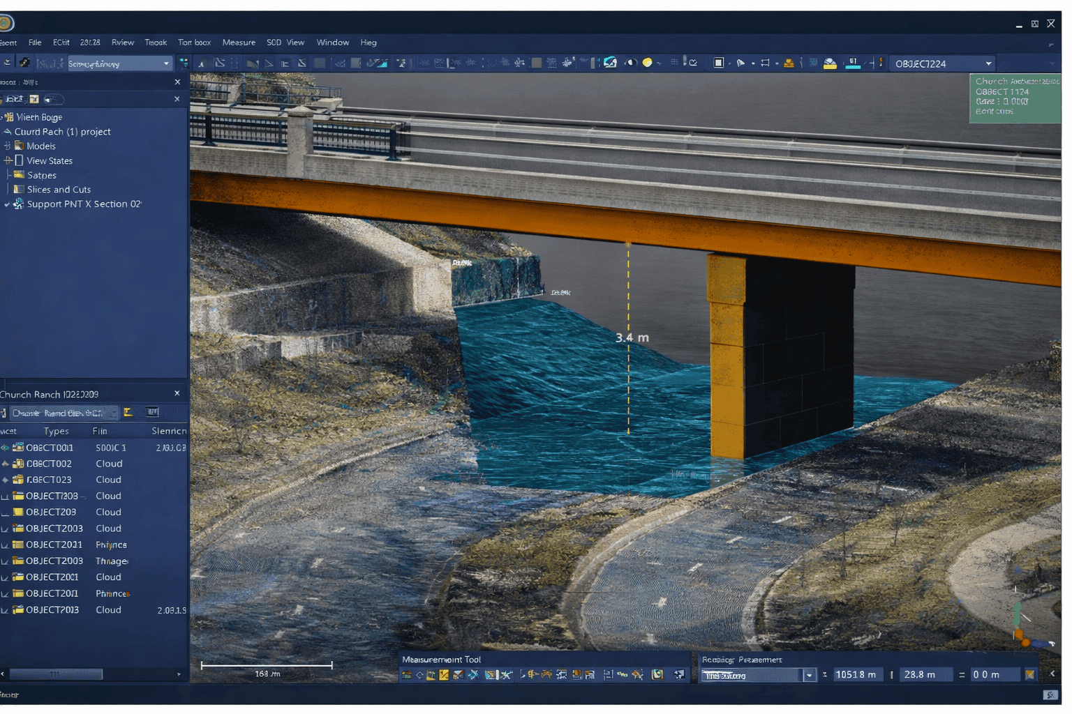
- Automated Processing and Modeling
Modern scanning workflows are supported by powerful processing software capable of automatically registering scans, identifying common features, and generating structured 3D models. Automated classification and modeling tools convert raw point-cloud data into usable engineering or design outputs, significantly reducing manual editing time.
With automation handling repetitive tasks, surveyors and GIS professionals can focus on quality control, analysis, and decision-support deliverables rather than time-intensive processing steps.
Expanding Applications Across Industries
The combination of high-speed scanning hardware and intelligent software enables efficient completion of a wide range of projects, including:
- Topographic and land boundary surveys
- Roadway and corridor mapping
- Volumetric and stockpile measurements
- Utility and infrastructure design surveys
- Building information modeling (BIM) data capture
Rapid access to accurate 3D site information also improves collaboration between field crews and office teams, as engineers and CAD specialists can begin analysis immediately after data upload.
Transforming Surveying Productivity
Next-generation scanning total stations represent a major shift in surveying technology by streamlining data capture, reducing processing requirements, and improving the speed at which actionable insights can be delivered. As these systems continue to evolve, surveying, engineering, and GIS professionals will be able to manage increasingly complex projects with greater efficiency, accuracy, and confidence.


