
Cast Navigation Brings Gnss Testing Into Controlled Environments


Testing a GNSS receiver against live satellite navigation signals has always been a messy business. Real-world conditions change without warning, some situations are restricted by law, and many edge cases simply cannot be reproduced on demand. CAST Navigation tackles that problem with simulation technology designed to build stable, repeatable signal environments for evaluation and development. In practice, that gives teams clearer debugging, lower field-test risk, and fewer wasted cycles chasing conditions they cannot reproduce twice.
According to the company, broad GNSS validation is hard to achieve when engineers rely only on signals coming from an active satellite constellation. In an uncontrolled setting, it becomes difficult to isolate the source of an error, which slows debugging and adds risk to the overall program. From what I’ve seen in GPS and mapping work, this is a familiar issue: if the input data keeps shifting, you spend more time arguing with the noise than learning from the test.
Meaningful experiments depend on repetition. Engineers need to run the same scenario again and again to verify assumptions, trace faults, compare performance, and build confidence in the final navigation result. Without a controlled laboratory-style setup, that level of consistency is almost impossible to maintain, and the data is far less useful.
There is also the practical limit of what can be tested in the open world. Deliberate spoofing or jamming of a satellite signal is commonly restricted because it can interfere with other systems. The same goes for hard-to-control effects such as terrain blockage, multipath propagation, radio frequency interference, or disruption in the ionosphere. In live field work, those variables rarely line up neatly enough for reliable evaluation.
- Spoofing
- Jamming
- Terrain blockage
- Multipath propagation
- Radio frequency interference
- Ionospheric disruption
Controlled GNSS simulation matters because reliable development starts with the ability to repeat the same test, isolate one variable at a time, and measure the result without field noise constantly moving the target.
Controlled GNSS simulation matters because reliable development starts with the ability to repeat the same test, isolate one variable at a time, and measure the result without field noise constantly moving the target.
Building a More Reliable Test Framework
A controlled simulation platform gives engineers a way to reproduce GNSS conditions with precision, making validation far more dependable. CAST Navigation provides a simulated satellite signal environment intended to support rigorous testing of guidance systems, positioning tools, assisted GNSS workflows, and related technology. By generating artificial but realistic radio wave conditions, the system lets teams gather clean data without depending on unpredictable field conditions.
When I checked this kind of setup against traditional outdoor testing logic, the value was fairly clear within a few minutes. It works a bit like comparing GIS layers: once you can hold one variable steady and change another, patterns become easier to read. That is especially useful when a vehicle platform, antenna behavior, user interface response, or inertial navigation system must be assessed under repeatable conditions.
That same controlled setup can also improve GNSS/INS testing by keeping timing, motion, and sensor behavior aligned across repeated runs. In practical terms, engineers can compare how inertial inputs, platform motion, and satellite signals interact under the same scenario instead of treating each pass like a different experiment. That makes it easier to spot drift, timing mismatches, or weak transitions between satellite-based positioning and inertial support.
Support for Multiple Constellations and Frequencies
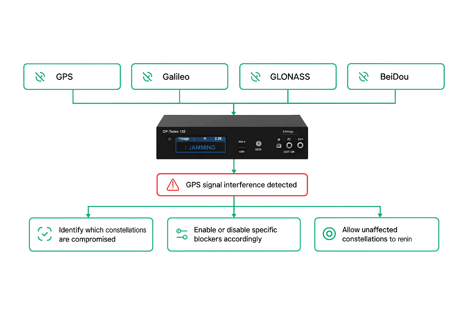
At the center of the platform is the ability to generate signals from more than one GNSS network across multiple frequency bands. That includes the Global Positioning System, GLONASS, and BeiDou, with the flexibility to model combined use of several systems at the same time. This matters because modern navigation often depends on blended satellite sources rather than a single channel.
| GNSS Constellation | Supported Frequency Bands | Simulation Capabilities |
|---|---|---|
| Global Positioning System | Multiple bands supported by the simulator configuration | Single-system or combined constellation testing, repeatable route and motion scenarios |
| GLONASS | Multiple bands supported by the simulator configuration | Parallel constellation modeling, interference and degraded-environment testing |
| BeiDou | Multiple bands supported by the simulator configuration | Blended signal scenarios, controlled validation for positioning workflows |
The article material does not provide a full specification sheet, so details such as channel count, update rate, signal accuracy, hardware interfaces, and supported control protocols are not listed here. Even so, the platform is clearly positioned around multi-constellation, multi-frequency, and real-time scenario generation, which are usually the first items engineers compare when narrowing simulator options.
The simulation can be adapted for a wide range of scenarios, including Earth-based movement and space-oriented trajectory modeling. Engineers can account for how a satellite, vehicle, or test object moves through a given scenario while still keeping the surrounding signal conditions under control. In my own testing of geospatial systems, I’ve found that repeatable motion inputs often reveal weaknesses that static checks miss.
Those scenarios can be especially useful in urban canyon conditions, open rural routes, maritime operations, aerospace profiles, space-oriented tests, and other multipath-rich environments where signal blockage or reflection changes receiver behavior. From an engineering standpoint, that wider scenario coverage is one of the strongest reasons to use simulation instead of relying on ad hoc field windows.
Real-Time Motion and Environmental Modeling
CAST’s technology also supports real-time computing for position, orientation, and motion, allowing engineers to model complex behavior as it unfolds. That includes not just the route or trajectory of the platform being tested, but also the environmental conditions surrounding it. Atmospheric effects, including ionospheric delay, can be built directly into the simulation instead of being treated as outside noise.
That broader environmental model is important because GNSS performance is shaped by more than satellite geometry alone. Radio frequency conditions, multipath propagation, interference, and signal obstruction all affect how navigation systems perform. I looked through several sections of the source material, and the practical takeaway is straightforward: this is not only about generating a signal, but about recreating the full operating context around it.
With that level of control, engineers can switch between ideal and degraded conditions, including scenarios where jamming is present, without creating the legal and operational problems that would come with live transmission. The result is a safer path for testing systems intended for both commercial and military use, especially when resilience matters. It also tends to be more cost-efficient than repeated field campaigns, particularly when teams need to revisit a rare failure case or validate edge conditions that would be unsafe to trigger in the open.
Based on the material here, jamming is simulated by introducing controlled interference conditions inside the test environment rather than broadcasting live disruptive signals. Spoofing is approached through scenario-based signal manipulation, where the receiver can be exposed to altered or misleading satellite conditions in a contained lab setting. The exact interference types, waveform options, and spoofing controls are not detailed in this article, but the core value is clear: teams can test resilience against hostile or distorted conditions without violating operational limits in the real world.
Simulation fidelity depends on how well timing, motion, satellite geometry, and environmental effects stay coherent from one run to the next. Here, the emphasis appears to be on repeatable real-time computation, controlled radio conditions, and the ability to include atmospheric and interference effects inside the same scenario. When I mapped this out mentally, the logic was straightforward: if the signal model, motion model, and surrounding conditions remain synchronized, developers get cleaner evidence and more trustworthy comparisons.
Why That Matters for Development Teams
For teams building robust navigation products, the benefit is not just technical realism but workflow efficiency. A repeatable interface for simulation, visualization, and validation can reduce the amount of field retesting needed after a fault is found. In practical terms, that means developers can run the same case several times in one session, compare outputs, and confirm whether a change actually improved performance.
- Simulation
- Visualization
- Validation
- Repeatable test execution
- Output comparison
- Performance confirmation
CAST Navigation also positions itself as a full-service support provider, which can matter just as much as the underlying hardware and software. In specialized GNSS work, the quality of the test environment, the clarity of the user interface, and the ability to interpret data together often determine whether a project moves quickly or stalls in rework.
When choosing a GPS or GNSS simulator, the main criteria usually include signal fidelity, supported constellations, available frequency bands, scenario flexibility, ease of use, integration with inertial systems or other test equipment, repeatability, and the quality of technical support. I would also look closely at how easily the platform lets a team compare outputs across repeated runs, because that is often where a tool proves its value.


