
India’s Navic Setback After Irnss-1f Clock Failure


One of India’s four navigation satellites has gone out of service, creating a fresh problem for the NavIC network. ISRO said the satellite IRNSS-1F was effectively lost for core use after its onboard atomic clock failed, a reminder that in satellite navigation, one component can matter as much as the whole spacecraft.
Operational Capacity Has Tightened Further
That leaves only three satellites still supporting positioning, navigation, and timing services over the Indian subcontinent: IRNSS-1B, IRNSS-1L, and NVS-01. With a regional constellation this lean, the loss of even one satellite can weaken the quality and resilience of the signal. From what I’ve seen in GPS and GIS work, this is a bit like losing a key layer in a map stack: the system still runs, but accuracy, coverage, and confidence can all take a hit.
The Indian Regional Navigation Satellite System, better known through NavIC, was built as a regional satellite navigation infrastructure to complement broader systems such as the Global Positioning System and Galileo. Its core features include:
- Regional navigation infrastructure focused on India and nearby areas
- Support for positioning, navigation, and timing services
- A design meant to complement larger systems such as GPS and Galileo
- Limited navigation and one-way messaging functions even when full service is constrained
For full regional service, NavIC was designed around a larger operational set than the three satellites now carrying the main load. In practice, a system like this needs enough healthy spacecraft spread across the region to maintain geometry, timing consistency, and signal availability. When the count drops this far, coverage can become patchier, accuracy margins can narrow, and service resilience falls below the level expected from a stable regional navigation network.
What ISRO Reported About IRNSS-1F
ISRO stated that IRNSS-1F, launched in March 2016, completed its planned 10-year mission on March 10, 2026. Just three days later, on March 13, 2026, the procured onboard atomic clock stopped working. The agency added that the satellite will stay in orbit and continue serving certain societal applications through one-way broadcast messaging services, including SMS-style transmissions rather than full navigation support.
When I checked the timeline, the sequence was fairly straightforward and took only a few minutes to map out. The bigger issue is not just the clock itself, but what that failure means for navigation. In systems like this, the atomic clock, often based on rubidium technology, is central to timing precision. It stamps signals with extremely accurate time, and receivers use those timing differences to calculate distance from multiple satellites and then solve for position. In plain terms, if the clock is wrong, the ranging is wrong. That is why clock accuracy is so critical: even tiny timing errors can translate into meaningful position errors on the ground.
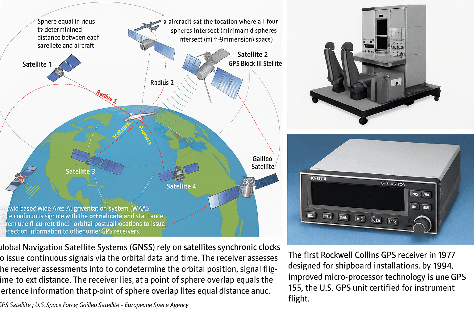
In a navigation satellite, the atomic clock is not a secondary subsystem. It is the timing reference that makes the entire positioning service possible.
In a navigation satellite, the atomic clock is not a secondary subsystem. It is the timing reference that makes the entire positioning service possible.
What remains unclear is the exact technical cause of the IRNSS-1F clock failure. ISRO identified the failed element as a procured onboard atomic clock, but it did not publicly spell out whether the immediate trigger was a manufacturing defect, a component-level malfunction, age-related degradation, or another environmental or systems issue. The available statement also does not clearly establish in this article whether that clock was part of the same imported clock problems seen in earlier missions or a different reliability case altogether.
A Longer Pattern of Technical Trouble
Since July 2013, ISRO has launched 11 satellites for this program. Of those, six have failed over time. Early losses were tied largely to faulty imported atomic clocks, while some more recent problems have been linked to orbit-related complications. That gives the Indian Regional Navigation Satellite System a difficult reliability record, especially for a service intended to strengthen national navigation policy and reduce dependence on external systems.
| Satellite Name | Launch Date | Status | Failure Cause |
|---|---|---|---|
| IRNSS-1B | July 2013 | Operational | Not indicated here |
| IRNSS-1L | Later replacement launch | Operational | Not indicated here |
| NVS-01 | Later replacement launch | Operational | Not indicated here |
| IRNSS-1F | March 2016 | Partially operational | Onboard atomic clock failure |
| Other failed NavIC satellites | 2013 onward | Failed | Faulty imported atomic clocks or orbit-related complications |
The broader history matters here. India pursued this technology in part because strategic events such as the Kargil War underscored the importance of sovereign space-based navigation infrastructure. The program has relied on launch campaigns from Sriharikota, often using the Polar Satellite Launch Vehicle rocket, and it was designed to build an independent constellation for regional use. But maintaining a stable fleet in orbit has proven harder than putting the spacecraft up in the first place. I looked through the mission pattern the same way I would compare noisy GPS traces across multiple passes: once a few points drift off, the wider reliability picture becomes harder to ignore.
Beyond the IRNSS-1F failure, NavIC also faces a wider set of challenges: satellite replacement timing, long-term atomic clock reliability, orbit management, pressure on the ground segment to maintain continuity, user-device adoption, and the practical question of how well the system integrates with global receivers and chipsets. Those issues matter because a navigation system is not just satellites in space. It is also the control segment, receiver ecosystem, and confidence users have that the service will remain stable.
The 2026 Government Assessment Already Signaled Weakness
In 2026, the government said that only four of the 11 satellites deployed for the NavIC system were fully operational for positioning, navigation, and timing services. The rest were being used in either restricted roles or under less-than-ideal conditions. That assessment already pointed to a constrained operating picture before the IRNSS-1F failure was announced.
The latest loss pushes that situation further. It also brings renewed attention to earlier missions such as IRNSS-1H, which was intended to support the constellation but never reached service as planned. For users who depend on a stable navigation signal, whether for civilian infrastructure or broader strategic applications in space and on the ground, this is less about a single satellite and more about whether the network can maintain enough healthy nodes to do the job consistently.
On the current count presented here, the constellation now breaks down into three satellites supporting core positioning, navigation, and timing services, one satellite in a reduced messaging role after clock loss, and six failed satellites over the life of the program. That leaves NavIC operating, but with a thinner margin than a regional system ideally wants.
Why the Setback Matters Strategically
NavIC’s significance has always gone beyond civilian navigation. Its value lies in giving India independent regional positioning and timing capability for strategic autonomy, especially when access to outside systems may be uncertain or politically constrained. Reduced reliability can create risks for military coordination, emergency response, transport timing, and parts of critical infrastructure that depend on stable PNT signals. Even when backup systems exist, a weaker sovereign constellation means less control over a service that was built precisely to avoid overreliance on others.
That is also why replacement and improvement efforts matter so much. The broad direction has been clear: launch replenishment satellites, keep newer spacecraft entering service, and improve subsystem reliability, especially around atomic clocks. From my perspective, that is the right focus. In any navigation architecture, resilient timing hardware is the anchor point. Without that, the rest of the network starts to look like a map with missing reference points.
How NavIC Compares With Other Systems
NavIC is smaller and more regionally focused than GPS, Galileo, GLONASS, and BeiDou, all of which operate as large constellations with broader or global coverage. It is closer in spirit to Japan’s QZSS in the sense that it serves a more specific geographic mission rather than trying to blanket the entire planet in the same way as the biggest systems. The tradeoff is straightforward: a regional network can be strategically valuable and technically efficient for its intended area, but it usually has less redundancy than a global system. That makes each satellite, and especially each timing subsystem, proportionally more important.


