
Hexagon Advances Green Cubes Mapping in Brazil


Hexagon’s R-evolution has started aerial 3D surveying operations, opening a new chapter for the Green Cubes Technology program and producing digital twins designed to aid land reclamation in Brazil’s mining industry. The project reflects broader trends in technology, innovation, and management as companies use software and computer hardware to better understand each ecosystem around industrial sites.
First Flight Phase Supports Digital Environmental Monitoring
Through its green-tech arm, Hexagon has begun initial missions using a hybrid airborne platform that combines imagery with LiDAR, or Light Detection and Ranging. This step pushes the Green Cubes initiative forward and strengthens rehabilitation work in the extractive sector.
- Mining
- Manufacturing
- Logistics
- Warehouse planning
- Material handling
In these settings, accurate environmental data can affect productivity, efficiency, and downtime.
Green Cubes Technology is built as a digital twin system that represents the complexity and volume of natural landscapes. It brings together satellite and airborne LiDAR and imagery, terrestrial LiDAR, acoustic sensors, camera traps, and ground-penetrating radar into one environmental intelligence framework. Delivered through an AI-enabled platform, the system offers what is effectively a digital window into the forest ecosystem. Main use cases include habitat mapping, biodiversity monitoring, rehabilitation tracking, terrain analysis, and long-term environmental oversight around industrial sites. Similar digital transformation principles are also seen in automation, robotics, robot navigation, mobile robot deployment, automated guided vehicle control, and mobile workstation design, where software and management tools improve visibility across the supply chain.
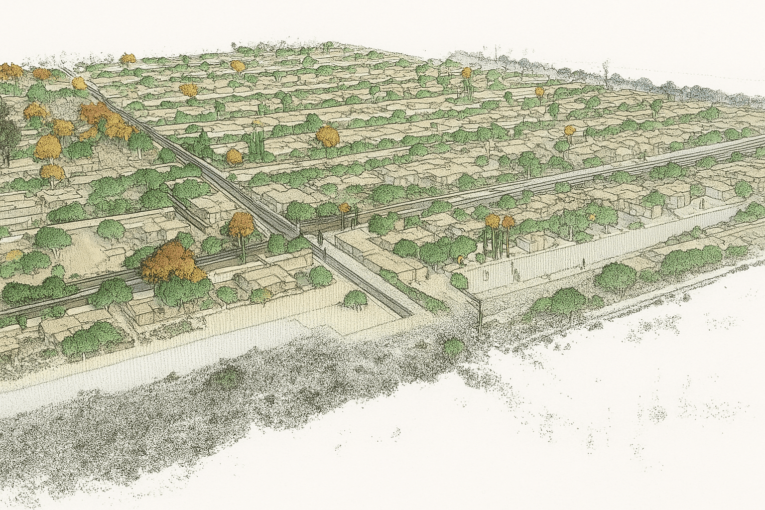
High-Resolution Data Will Model Forest Areas Around Mining Assets
Using Leica Geosystems’ hybrid airborne system, the flights will capture detailed imagery and LiDAR data at the same time across more than 20 square kilometres. The aim is to build a digital twin of habitats surrounding mining operations, protected zones, and nearby terrain. For an original equipment manufacturer or a chief executive officer evaluating sustainability, such modelling can be as strategically important as battery management system data is for an electric battery fleet or an electric vehicle battery program.
The airborne setup generates dense point clouds exceeding 40 points per square metre, making it possible to reconstruct forest structure in fine 3D detail. That precision helps identify conditions ranging from tall trees to understory growth and even very small branches. In practical terms, these digital twins can help mining companies track biodiversity, measure rehabilitation progress, and improve sustainability management with greater accuracy. They may also support community education and long-term resource mobilisation. Although this project is not about a forklift, internal combustion engine replacement, or energy storage for a battery charger, the same sustainability direction is shaping electrification across industrial fleets that use lithium, phosphate, iron, a lithium-ion battery, a lithium iron phosphate battery, a lead–acid battery, and other energy systems. Companies from heavy industry to Mitsubishi Heavy Industries are watching how digital monitoring, reduced combustion dependence, and smarter energy decisions can strengthen environmental performance.
By extending digital twin coverage into natural habitats, Hexagon is creating a model that links reclamation goals with measurable field data. The result is a more informed path for mining companies seeking better environmental oversight while aligning operational planning with modern expectations around energy, automation, and responsible land recovery.


