
E-geos Expands Saocom Data Partnership


e-GEOS, the joint venture backed by the Italian Space Agency and Telespazio, a Leonardo business, has signed a long-term marketing and distribution arrangement with VENG in Argentina, a company controlled by the National Space Activities Commission. Under the deal, SAOCOM satellite data for Europe and the Mediterranean will continue to be handled with the involvement of the Italian Space Agency, strengthening access to Earth observation information generated by the Argentine satellite constellation.
- e-GEOS: Marketing and distribution of SAOCOM data in Europe and the Mediterranean under the long-term arrangement.
- Italian Space Agency (ASI): Institutional partner supporting the broader Italian role in Earth observation cooperation and the SIASGE framework.
- Telespazio: Industrial partner in the e-GEOS joint venture and part of Leonardo’s space activities.
- Leonardo: Parent industrial group supporting Telespazio and the wider space-sector presence tied to the partnership.
- VENG: Argentine partner responsible for the commercialization framework linked to SAOCOM.
- National Space Activities Commission (CONAE): Argentine national space authority overseeing the SAOCOM program through its controlled company VENG.
A Broader Distribution Role for SAOCOM
This multi-year accord reinforces e-GEOS as a worldwide channel for SAOCOM data, building on the cooperation launched with VENG in 2021. The agreement deepens the company’s position in the space market by widening the availability of radar-based observation products through a joint venture model focused on innovation, management, and sustainable development. In practical terms, the partnership supports the delivery of information to users who may access products through digital platforms for research, surveillance, infrastructure monitoring, and communication needs across Europe.
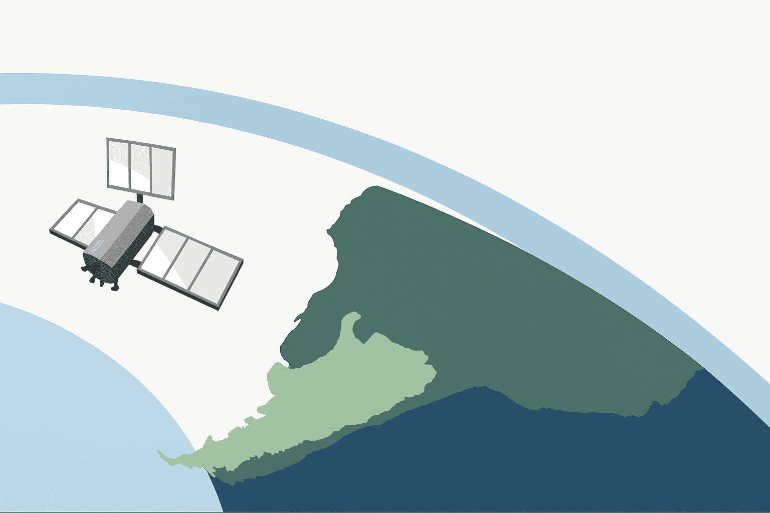
SAOCOM is an Earth observation system built around Synthetic Aperture Radar operating in the L band, a wavelength well suited to tracking soil moisture, water resources, hydrology, vegetation, agriculture, mining, and natural resource management even in difficult weather conditions. Because the sensor can collect data in orbit day or night, the radar mission helps analysts study soil, moisture, water patterns, and natural resource trends. Its capabilities also extend to polarization, interferometry, and interferometric synthetic aperture radar applications, including deformation monitoring, infrastructure assessment, oil spill detection, and emergency management support.
| Application Area | Description |
|---|---|
| Soil Moisture and Hydrology | L-band radar supports mapping of soil moisture, wetlands, flood conditions, and broader water-resource analysis. |
| Agriculture and Vegetation | The mission helps monitor crop conditions, vegetation health, and land-use trends in agricultural areas. |
| Mining and Natural Resources | Radar imagery can support monitoring of extraction zones and broader resource-management activity. |
| Infrastructure and Ground Deformation | Interferometric applications are useful for tracking surface displacement, infrastructure stability, and volcanic deformation. |
| Marine and Environmental Response | SAOCOM data can contribute to oil spill detection and environmental incident assessment. |
| Emergency and Disaster Monitoring | All-weather, day-and-night imaging supports rapid analysis during emergencies, including flooding and other natural hazards. |
| Urban Planning and Forestry | The data can assist in land-cover studies, forestry observation, and planning decisions in built and natural environments. |
| Climate and Environmental Studies | Long-term radar observations can support research into environmental change, water cycles, and land-surface dynamics. |
In addition to these use cases, the system is commonly described through key radar characteristics such as acquisition mode, polarization options, incidence-angle range, swath coverage, revisit opportunities, and image resolution. While those detailed sensor parameters are not outlined here, they are central to how users assess suitability for specific operational or research tasks.
How SAOCOM Fits Into the Italian-Argentine System
The SAOCOM 1A and 1B satellites, both equipped with L-band radar technology, work alongside the first- and second-generation COSMO-SkyMed satellites operated for Italy by the Italian Space Agency and the Ministry of Defence. COSMO-SkyMed contributes complementary X-band radar performance, creating a more versatile satellite constellation for observation of the Earth. Together, these assets form SIASGE, the Italian-Argentine Satellite System for Emergency Management, a binational framework developed by ASI and CONAE that is recognized as the first integrated European-American radar system dedicated to emergency management.
Within SIASGE, SAOCOM provides L-band radar data that complements the higher-frequency X-band observations from COSMO-SkyMed. This pairing supports a broader range of imaging conditions and application needs, with SAOCOM contributing particular value in areas such as soil moisture analysis, vegetation monitoring, and ground deformation studies. In operational terms, the combined system enables coordinated tasking and the use of complementary datasets for emergency response and environmental monitoring, even though the article does not specify the detailed workflow for data fusion or mission planning between the two constellations.
The combined architecture brings together Argentina and Italy in a strategic space effort that reflects decades of cooperation, including industrial and institutional ties involving technical organizations with links to the European Space Agency ecosystem. While SAOCOM is focused on advanced radar observation rather than a communications satellite role, the system broadens the range of data products available for resource planning, energy oversight, agriculture analysis, surveillance, and response planning in areas affected by weather, water, or land-use pressure.
SAOCOM 1A and 1B are the two satellites referenced in this framework, but this article does not provide their launch dates or current spacecraft health status. Their role in the partnership is discussed in terms of operational contribution rather than mission-status reporting.
Strategic Value for Industry and End Users
The agreement underscores the importance of international collaboration in Earth observation, where complementary satellite systems and industrial partnerships can expand data access and strengthen emergency management, sustainable development, and long-term environmental monitoring.
According to C. Milena A. Lerario, CEO of e-GEOS, the new distribution agreement strengthens a satellite data portfolio distinguished by its breadth and complementarity, enabling increasingly sophisticated solutions that address global priorities ranging from emergency management to sustainable development.
She also emphasized that the accord highlights the strategic importance of industrial cooperation between Italy and Argentina, supported by growing dialogue between the two space agencies and by the technology capabilities of both countries. In that context, e-GEOS is pursuing long-term international collaboration centered on innovation, shared capability growth, and wider use of observation data for management of natural resource challenges, infrastructure resilience, and emergency response. The initiative also aligns with Leonardo’s longstanding presence in Argentina through Telespazio Argentina, active in the space sector for more than thirty years.
Overall, the renewed partnership broadens access to SAOCOM information and reinforces the value of integrated radar systems for Earth observation, from soil and vegetation analysis to water monitoring, interferometry, and critical-response applications. By combining Argentine and Italian assets in orbit, the agreement supports a more capable and resilient framework for research, observation, and practical decision-making across Europe and the Mediterranean.
Technical and Access Details Not Specified in This Article
This article identifies SAOCOM as an L-band Synthetic Aperture Radar mission and explains its commercial and operational context, but it does not provide a full technical specification sheet. Details not specified here include satellite mass, dimensions, power supply configuration, orbit altitude, expected lifespan, manufacturer, native data format, metadata standard, ground-segment architecture, data reception and processing centers, official ordering portals, registration requirements, available product levels, and support contacts for data access.


