
Fugro Wins Usace Surveying And Mapping Deal


Fugro has landed a new five-year IDIQ contract from the US Army Corps of Engineers, giving the company a fresh role in surveying and mapping work for civil projects and military infrastructure in the United States and abroad. The core point is straightforward: USACE wants reliable geospatial data to support engineering decisions in places where timing and data quality can quickly affect risk.
Contract Supports Critical Infrastructure Work
The agreement strengthens USACE efforts to oversee essential waterways, flood-control systems, and defense facilities by improving access to timely survey information and mapping outputs. In practice, that means better geographic information system support for planning and day-to-day management, along with stronger operational readiness in demanding settings where topography and hazard exposure both matter.
The award also extends a working relationship that has been in place for more than 30 years. Over that time, Fugro has supplied decision-ready Geo-data for construction planning and long-term asset oversight across a broad infrastructure base. From what I have seen in this kind of work, consistent data collection matters a lot because even small gaps in elevation or positioning can throw off later design choices like a bad GPS fix on an otherwise solid map.
How Fugro Will Deliver the Work
USACE’s St. Louis District will manage the contract, and Fugro will carry out assignments through individual task orders. The company plans to gather high-resolution data with crewed and uncrewed systems, then process that information with cloud-based tools and AI-enabled automation under expert review. That blend of technology and human oversight should help keep survey products dependable across different operating conditions, whether the job involves transport corridors or other public works.
Seen through a geomatics lens, the value here is in turning raw field capture into usable layers that project teams can trust quickly. That helps engineers and construction teams move faster without losing confidence in the underlying data, which is usually the real constraint when infrastructure decisions need to be made on a compressed schedule.
Surveying and Mapping Services in Plain Terms
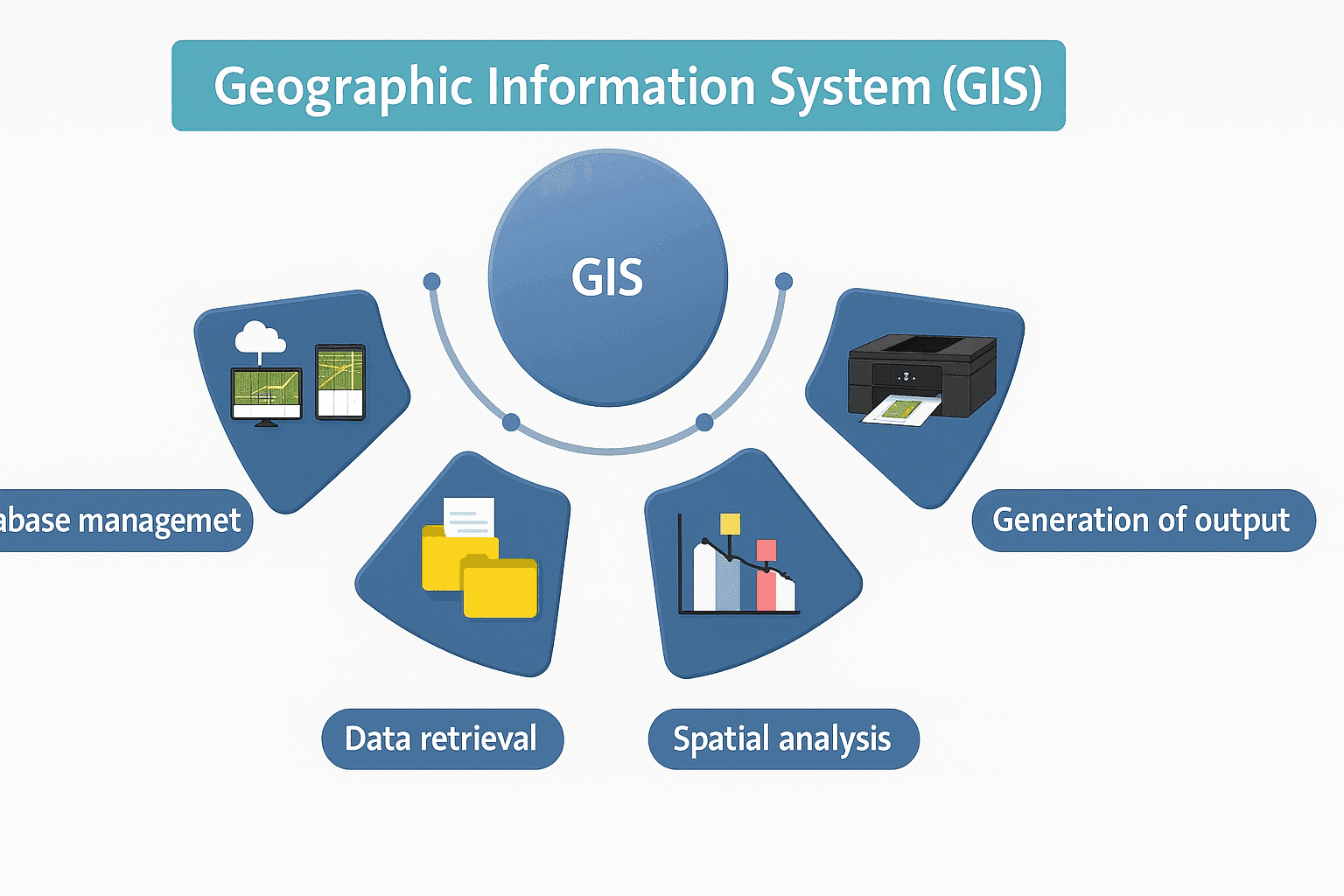
Surveying services measure the physical world so teams can pin down position, distance, and elevation with legal or engineering-grade accuracy. Mapping services turn those measurements into usable outputs such as site maps, digital models, or GIS layers that people can read and act on. Put simply, surveying captures where things are, and mapping shows that information in a form planners and field crews can use.
A land survey is one common example. A licensed professional surveyor and mapper checks evidence on the ground, reviews existing records, and produces a final boundary or control document that supports design, permitting, or ownership questions. The finished work often includes marked points in the field and a formal drawing or digital file.
Common Service Types
The mix of services changes by project, but a few types show up again and again. Land surveying focuses on boundaries and site measurements. Hydrographic surveying measures water depths and underwater features for channels or shore work.
Topographic surveying records terrain shape, elevation change, and surface features so engineers can plan grading or drainage. Construction surveying transfers design locations to the field so crews build in the right place. Aerial mapping, often supported by drones, helps cover larger areas quickly, while GIS mapping organizes results into layers that can be searched and updated.
Why Land Surveys Matter
Land surveys matter because they establish defensible property boundaries and reduce the chance of costly disputes. They also support permitting and construction layout by giving teams a reliable base map before work begins. In practice, a good survey can prevent small location errors from becoming expensive field corrections later.
Typical Land Survey Costs
Land survey pricing usually falls anywhere from a few hundred dollars for a simple residential boundary check to several thousand for larger or more complex sites. Cost usually rises with property size and site difficulty. The type of survey also matters, since a basic boundary job is usually simpler than a detailed topographic or construction survey.
Can You Get a Free Property Survey
Sometimes, but usually with limits. A property owner may find older survey records through a county office or local land records archive, and some municipalities provide parcel maps online at no charge. Those documents can be useful for background research, though they may be outdated or too general for legal use.
In some cases, a lender, title company, or developer may already have survey information tied to a transaction or subdivision plan. That can save money, but it is still worth checking whether the document is current and whether it meets the purpose you have in mind.
How to Choose a Provider
Start with licensing and relevant experience. A provider should be properly licensed for the jurisdiction and able to show work that matches your project type. After that, look at how they collect and process data, especially if the assignment needs GPS, LiDAR, or GIS support.
I would also check references and the scope wording before looking at price alone. Surveying can look similar on paper while the actual deliverables differ quite a bit. The better firms usually explain what you will receive, how accurate it should be, and where the limits are.
Technologies and Trends Shaping the Field
Modern surveying and mapping rely on tools that improve speed and consistency. GPS and total stations remain core field instruments, while LiDAR and remote sensing help capture detailed surface data across wider areas. Cloud processing and AI are also becoming more common because they shorten the path from raw capture to reviewed output.
One clear trend is heavier drone use for site coverage and repeat inspections. Another is the move toward 3D mapping and automated processing pipelines, which make it easier to compare changes over time and share results across teams.


